Articoli correlati a 2002 Collins Road Atlas Britain
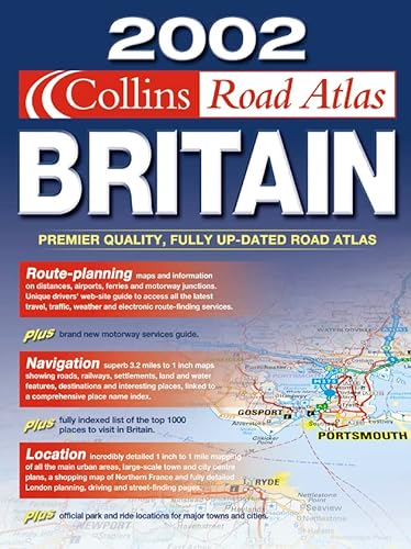

3.2 miles to 1 inch 1:250,000 The ultimate road atlas for the year 2002, featuring the exceptionally clear ‘Collins’ mapping from the Bartholomew digital database
MAIN FEATURES
Fully updated mapping covering the whole of Britain and Ireland.
INCLUDES
� Park & Ride locations shown for major cities and towns
� Motorway Services guide with information on facilities
� Route planning maps & limited access junction information
� Main map section covering the whole of Britain and Ireland
� Full London planning and detail section
� Urban area maps with inset town centre plans
� Comprehensive selection of town centre maps featuring brand new mapping
� Full index to place names and places of interest
� Web-site guide to help you plan your journey
AREA OF COVERAGE
The whole of Britain and Ireland
WHO THE PRODUCT IS AIMED AT
Any driver of any vehicle who requires the latest information, the most complete coverage and the clearest detail of any road atlas.
OTHER PRODUCTS IN THE SERIES
This title can also be purchased with a spiral binding.
Le informazioni nella sezione "Riassunto" possono far riferimento a edizioni diverse di questo titolo.
- EditoreCollins
- Data di pubblicazione2001
- ISBN 10 0007114133
- ISBN 13 9780007114139
- RilegaturaCopertina flessibile
- Numero di pagine168
(nessuna copia disponibile)
Cerca: Inserisci un desiderataSe non trovi il libro che cerchi su AbeBooks possiamo cercarlo per te automaticamente ad ogni aggiornamento del nostro sito. Se il libro � ancora reperibile da qualche parte, lo troveremo!
Inserisci un desiderata