Articoli correlati a Edinburgh Streetfinder Atlas

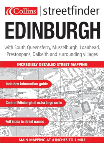
4 inches to 1 mile 1:15,840. Handy street atlas with mapping clearly shown in black and white, covering a large area of Edinburgh. MAIN FEATURES Brand new black and white mapping has been created for this product in a handy A5 format atlas. The mapping displays a wealth of detail, but not at the expense of clarity. INCLUDES / Central area enlargement at 5.7 inches to 1 mile / Extensive area of Edinburgh at 4 inches to 1 mile / Car parks / Cinemas, museums, theatres / Full index to street names AREA OF COVERAGE Covers an area from Queensferry in the west to Tranent in the east and from the Firth of Forth in the north to Penicuik in the south. WHO THE PRODUCT IS AIMED AT An essential purchase for resident and visitor alike.
Le informazioni nella sezione "Riassunto" possono far riferimento a edizioni diverse di questo titolo.
- EditoreCollins
- Data di pubblicazione2004
- ISBN 10 0007170033
- ISBN 13 9780007170036
- RilegaturaCopertina flessibile
- Numero di pagine104
(nessuna copia disponibile)
Cerca: Inserisci un desiderataSe non trovi il libro che cerchi su AbeBooks possiamo cercarlo per te automaticamente ad ogni aggiornamento del nostro sito. Se il libro è ancora reperibile da qualche parte, lo troveremo!
Inserisci un desiderata