Articoli correlati a Collins International Maps – Australia

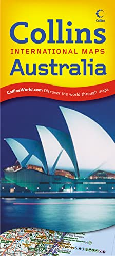
A revised edition of this popular map of Australia that highlights the key tourist features and classified road network against a background of hillshading and attractive layer colouring. Scale 1:5 000 000; 1 cm to 50 km; 1 inch to 79 miles.
MAIN FEATURES
Detailed physical map with attractive hillshading and layer colouring and showing key tourist sites, areas of natural beauty, local activity centres and main transport links.
AREA OF COVERAGE
All of Australia, extending from Cape York in the north to Tasmania in the south and from Perth in the west to Brisbane in the east.
INCLUDES
Useful features include detailed city maps of Canberra, Sydney, Melbourne, Adelaide, Perth, Brisbane, Hobart, Darwin and Cairns, essential travel connections guide and distance chart. Comprehensive place name index to towns, villages and places of interest on reverse of sheet.
WHO THE PRODUCT IS AIMED AT
The ideal map for the independent traveller for both planning and using on a trip. Also useful for home and business reference.
Le informazioni nella sezione "Riassunto" possono far riferimento a edizioni diverse di questo titolo.
- EditoreCollins
- Data di pubblicazione2008
- ISBN 10 0007276338
- ISBN 13 9780007276332
- RilegaturaMappa
(nessuna copia disponibile)
Cerca: Inserisci un desiderataSe non trovi il libro che cerchi su AbeBooks possiamo cercarlo per te automaticamente ad ogni aggiornamento del nostro sito. Se il libro è ancora reperibile da qualche parte, lo troveremo!
Inserisci un desiderata