Articoli correlati a 2014 Collins Map of Britain
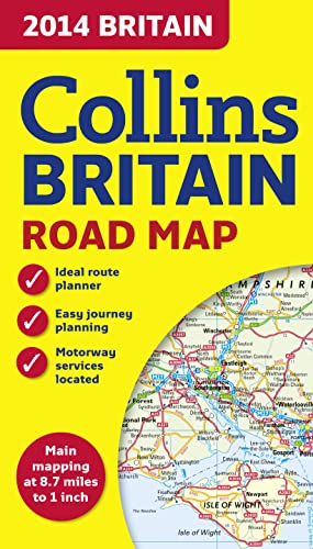

Full colour double-sided map of Great Britain at 8.7 miles to 1 inch (1:550,000), with clear, detailed road network and administrative areas shown in colour. With its political colouring of counties and unitary authorities it is ideal for business users but it is also perfect for tourists as a route planning map.
MAIN FEATURES
� Fully updated for 2014.
� Counties and local council areas shown in colour.
� Clear, detailed road network.
� Town and city names, rivers, railway lines and canals are clearly shown.
� 16 city/town centre street plans.
� Index to place names.
� Mileage chart.
� Car ferry routes.
� Key in English, French and German.
AREA OF COVERAGE
Double-sided road map covering the whole of Britain. Northern England, Scotland and the Isle of Man are on one side with Southern England and Wales on the other.
Le informazioni nella sezione "Riassunto" possono far riferimento a edizioni diverse di questo titolo.
L'autore:
Explore the world through accurate and up-to-date mapping.
Le informazioni nella sezione "Su questo libro" possono far riferimento a edizioni diverse di questo titolo.
- EditoreCollins
- Data di pubblicazione2013
- ISBN 10 0007497113
- ISBN 13 9780007497119
- RilegaturaMappa
- Valutazione libreria
Compra usato
Condizioni: molto buonoThe book has been read, but is... Scopri di pi� su questo articolo

EUR 7,87
Spese di spedizione:
EUR 5,61
Da: Regno Unito a: U.S.A.
I migliori risultati di ricerca su AbeBooks
Foto dell'editore
2014 Collins Map of Britain (Collins Road Map)
Editore:
HarperCollins UK
(2013)
ISBN 10: 0007497113
ISBN 13: 9780007497119
Antico o usato
Paperback
Quantit�: 1
Da:
Valutazione libreria
Descrizione libro Paperback. Condizione: Very Good. The book has been read, but is in excellent condition. Pages are intact and not marred by notes or highlighting. The spine remains undamaged. Codice articolo GOR005382997
Compra usato
EUR 7,87
Convertire valuta
Foto dell'editore
2014 Collins Map of Britain (Collins Road Map)
Editore:
HarperCollins UK
(2013)
ISBN 10: 0007497113
ISBN 13: 9780007497119
Antico o usato
Paperback
Quantit�: 1
Da:
Valutazione libreria
Descrizione libro Paperback. Condizione: Good. The book has been read but remains in clean condition. All pages are intact and the cover is intact. Some minor wear to the spine. Codice articolo GOR006808659
Compra usato
EUR 7,87
Convertire valuta
Foto dell'editore
2014 Collins Map of Britain (Collins Road Map)
Da:
Valutazione libreria
Descrizione libro map. Condizione: Very Good. All orders are dispatched the following working day from our UK warehouse. Established in 2004, we have over 500,000 books in stock. No quibble refund if not completely satisfied. Codice articolo mon0006732481
Compra usato
EUR 7,86
Convertire valuta