Articoli correlati a RAC Road Atlas Britain (RAC Atlases)
Sinossi
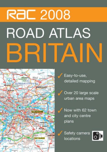
This A4 format, spiral bound, road atlas features clear, detailed road mapping with physical relief shading. It includes a wide range of large scale urban area maps plus 62 town and city plans. Safety camera locations are indicated and it features dedicated, fully indexed London mapping at 5 inches to 1 mile. Additional features include: motorway services listed with facilities information, motorway junction access information, park and ride locations, places of interest indicated, blue flag beaches and surfing beaches shown, and a distance chart. It is fully indexed. This popular A4 format with lie-flat spiral binding is ideal to keep in the car as a handy reference tool and the paper is sourced from a sustainable forest, making it environmentally friendly.
Le informazioni nella sezione "Riassunto" possono far riferimento a edizioni diverse di questo titolo.
- EditoreCollins
- Data di pubblicazione2007
- ISBN 10 0007796994
- ISBN 13 9780007796991
- RilegaturaRilegatura a spirale
- Numero di pagine304
(nessuna copia disponibile)
Cerca: Inserisci un desiderataSe non trovi il libro che cerchi su AbeBooks possiamo cercarlo per te automaticamente ad ogni aggiornamento del nostro sito. Se il libro � ancora reperibile da qualche parte, lo troveremo!
Inserisci un desiderata
