Articoli correlati a Philip's Street Atlas Inverness and Moray: Pocket
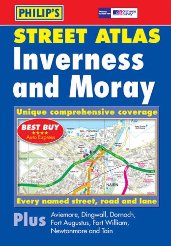

New, and the only detailed colour atlas of Inverness and Moray that gives comprehensive coverage of the region. No other atlas shows every street in Inverness and Moray.The mapping is based on Ordnance Survey data and gives the user complete coverage of all urban and rural areas. The mapping is at a scale of 1 3/4 inches to 1 mile (1 1/3 inches to 1 mile in the pocket edition) with larger scale mapping of 3 1/2 inches to 1 mile (2 2/3 inches to 1 mile in the pocket edition) for the following towns Alness, Aviemore, Buckie, Charlestown of Aberlour, Dingwall, Dufftown, Elgin, Fochabers, Forres, Fort Augustus, Grantown on Spey, Invergordon, Inverness, Keith, Kingussie, Lossiemouth, Muir of Ord, Nairn, Newtonmore, Tain.The atlas is ideally suited for both business and leisure use. There is a route-planning map at the front of the atlas. The main maps show every named road, street and lane clearly with through-routes highlighted in urban areas. School locations are marked and emergency services, hospitals, police stations, car parks and rail and bus station locations are all featured. There is a comprehensive index of street names and postcodes including schools, industrial estates, hospitals, sports centres, etc. These are highlighted in red.Main map scale: 1 1/3 inches to 1 mile
Le informazioni nella sezione "Riassunto" possono far riferimento a edizioni diverse di questo titolo.
Recensione:
'Best Buy' *****AUTO EXPRESS
Descrizione del libro:
The only detailed colour atlas that gives comprehensive coverage of the entire region - no other atlas names every street in Inverness and Moray.
Le informazioni nella sezione "Su questo libro" possono far riferimento a edizioni diverse di questo titolo.
- EditorePhilip's
- Data di pubblicazione2004
- ISBN 10 0540086525
- ISBN 13 9780540086528
- RilegaturaCopertina flessibile
- Numero di pagine192
Compra usato
Condizioni: molto buonoThe book has been read, but is... Scopri di pi� su questo articolo

EUR 21,86
Spese di spedizione:
EUR 5,60
Da: Regno Unito a: U.S.A.
I migliori risultati di ricerca su AbeBooks
Foto dell'editore
Philip's Street Atlas Inverness and Moray: Pocket
Editore:
Philip's
(2004)
ISBN 10: 0540086525
ISBN 13: 9780540086528
Antico o usato
Paperback
Quantit�: 3
Da:
Valutazione libreria
Descrizione libro Paperback. Condizione: Very Good. The book has been read, but is in excellent condition. Pages are intact and not marred by notes or highlighting. The spine remains undamaged. Codice articolo GOR004298740
Compra usato
EUR 21,86
Convertire valuta
Immagini fornite dal venditore
Philip's Street Atlas Inverness and Moray: Pocket
Editore:
Philip's
(2004)
ISBN 10: 0540086525
ISBN 13: 9780540086528
Antico o usato
Brossura
Quantit�: 1
Da:
Valutazione libreria
Descrizione libro Condizione: VeryGood. Most items will be dispatched the same or the next working day. Codice articolo wbs6655981764
Compra usato
EUR 23,87
Convertire valuta