Articoli correlati a Philip's Road Atlas Britain 2007 A3
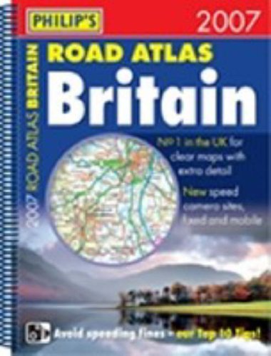

A new mid-format atlas featuring fully updated cartography from Philip's digital database, which has been voted Britain's clearest and most detailed mapping in an independent consumer survey.The 176 pages of road mapping are at the large scale of 3 miles to 1 inch (Scottish Highlands and Hebrides at 4 miles to 1 inch), and now includes speed camera locations. The mapping clearly marks service areas, roundabouts and multi-level junctions, and in rural areas distinguishes between roads above and below 4 metres wide - a boon for drivers of wide vehicles. Across the channel, a full page map shows Calais and Boulogne, and a double page map shows the full extent of the northern French coast including all ferry ports.The atlas also includes route-planning maps, M25 and M60 maps, full listings of fixed location speed cameras, distance table, 12 large-scale city approach maps with named arterial roads, 55 extra-detailed town and city plans, airport and port plans, and unique cross-Channel maps of Northern France.Main map scale: 3 miles to 1 inch
Le informazioni nella sezione "Riassunto" possono far riferimento a edizioni diverse di questo titolo.
Descrizione del libro:
A new atlas featuring fully updated cartography from Philip's digital database, which has been voted Britain's clearest and most detailed maps in an independent consumer survey and now includes speed camera locations.
Le informazioni nella sezione "Su questo libro" possono far riferimento a edizioni diverse di questo titolo.
- EditoreOctopus Publishing Group
- Data di pubblicazione2006
- ISBN 10 0540088854
- ISBN 13 9780540088850
- RilegaturaRilegatura a spirale
- Numero di pagine272
Compra usato
Condizioni: discretoA readable copy of the book which... Scopri di pi� su questo articolo

EUR 1,91
Spese di spedizione:
EUR 5,64
Da: Regno Unito a: U.S.A.
I migliori risultati di ricerca su AbeBooks
Foto dell'editore
Philip's Road Atlas Britain 2007 A4
Editore:
Clearway Logistics Phase 2-3
ISBN 10: 0540088854
ISBN 13: 9780540088850
Antico o usato
Paperback
Quantit�: 1
Da:
Valutazione libreria
Descrizione libro Paperback. Condizione: Fair. A readable copy of the book which may include some defects such as highlighting and notes. Cover and pages may be creased and show discolouration. Codice articolo GOR005299506
Compra usato
EUR 1,91
Convertire valuta