Articoli correlati a Philip's Street Atlas Herefordshire and Monmouthshire:...
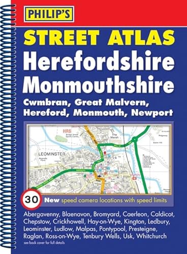

This fully revised street atlas of Herefordshire and Monmouthshire gives comprehensive and detailed coverage of the region. The route planner shows all the A and B roads, and can be used when driving to get close to the destination before turning to the relevant large-scale street map.The street maps show every named road, street and lane very clearly, with major roads picked out in colour. The maps are at a scale of 1.75 inches to 1 mile, with larger-scale maps at 3.5 inches to 1 mile for urban areas. The town centres of Hereford and Monmouth (Trefynwy) are shown at 7 inches to 1 mile.Other information on the maps includes postcode boundaries, car parks, railway and bus stations, post offices, schools, colleges, hospitals, police and fire stations, places of worship, leisure centres, footpaths and bridleways, camping and caravan sites, golf courses, and many other places of interest. New to this edition are fixed single and multiple speed-camera locations, with corresponding speed limits.The comprehensive index lists street names and postcodes, plus schools, hospitals, railway stations, shopping centres and other such features picked out in red, with other places of interest shown in blue.
Le informazioni nella sezione "Riassunto" possono far riferimento a edizioni diverse di questo titolo.
Descrizione del libro:
Includes fixed single and multiple speed-camera locations, with corresponding speed limits. Shows every street in both urban and rural areas. Route-planning maps show all A and B roads. Street maps show car parks, post offices, schools and many other places of interest. Comprehensive index with every street named, plus postcodes, schools, hospitals, etc. Also available in a pocket paperback format (GBP6.99), at a scale of 1 1/3 inches to 1 mile, with larger-scale maps at 2 2/3 inches to 1 mile for urban areas (9780540092086). Part of a series of street atlases which covers all of England, Wales, Northern Ireland and much of Scotland.
Le informazioni nella sezione "Su questo libro" possono far riferimento a edizioni diverse di questo titolo.
- EditorePhilip's
- Data di pubblicazione2008
- ISBN 10 054009207X
- ISBN 13 9780540092079
- RilegaturaCopertina flessibile
- Numero di pagine176
(nessuna copia disponibile)
Cerca: Inserisci un desiderataSe non trovi il libro che cerchi su AbeBooks possiamo cercarlo per te automaticamente ad ogni aggiornamento del nostro sito. Se il libro � ancora reperibile da qualche parte, lo troveremo!
Inserisci un desiderata