Articoli correlati a Macclesfield A-Z Street Atlas

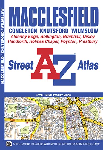
This A-Z map of Macclesfield features 43 street map pages covering: Congleton, Knutsford, Wilmslow, Bollington, Holmes Chapel, Manchester Airport, Alderley Edge, Handforth, Bramhall, High Lane, Poynton, Woodford, Disley, New Mills (part) and Gawsworth (inset). Postcode districts, one-way streets, safety camera locations with speed limits and National Park boundaries are also featured on the mapping. The index section lists streets, selected flats, walkways and places of interest, place, area, Metrolink and station names, hospitals and hospices covered by this atlas.
Le informazioni nella sezione "Riassunto" possono far riferimento a edizioni diverse di questo titolo.
- EditoreGeographers’ A-Z Map Co Ltd
- Data di pubblicazione2016
- ISBN 10 1843488167
- ISBN 13 9781843488163
- RilegaturaCopertina flessibile
- Numero edizione3
- Numero di pagine64
Compra nuovo
Scopri di più su questo articolo
EUR 12,43
Spese di spedizione:
EUR 3,73
In U.S.A.
I migliori risultati di ricerca su AbeBooks
Macclesfield Street Atlas
Editore:
Geographers' A-Z Map Company, Limited
(2016)
ISBN 10: 1843488167
ISBN 13: 9781843488163
Nuovo
Brossura
Quantità: 1
Da:
Valutazione libreria
Descrizione libro Condizione: New. 2nd Edition. Codice articolo 2697199821
Compra nuovo
EUR 12,43
Convertire valuta

