Articoli correlati a Ruhr Sheet 05. Schalke, Horst and Bottrop 1944: Old...

- EditoreAlan Godfrey Maps
- Data di pubblicazione2009
- ISBN 10 1847842232
- ISBN 13 9781847842237
- RilegaturaMappa
Compra nuovo
Scopri di pi� su questo articolo
EUR 3,56
Spese di spedizione:
EUR 35,62
Da: Regno Unito a: U.S.A.
I migliori risultati di ricerca su AbeBooks
Foto dell'editore
Schalke, Horst and Bottrop: Ruhr Sheet 5 (Old Maps of the Ruhr)
Da:
Valutazione libreria
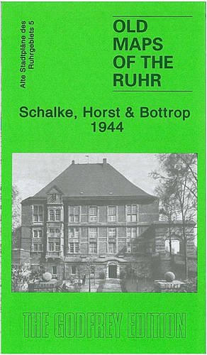
Descrizione libro No Binding. Condizione: New. No Jacket. Here are the details of our maps of the Bottrop area: 5 Schalke, Horst & Bottrop 1944 - published 2009. Introduction in English by Alan Godfrey; German summary by Ellen Stramplat This map covers the area west of Gelsenkirchen, stretching westward towards Bottrop; Karnap and Horst are near the centre of the map. Features and areas include Schalke (the Gelsenkirchen suburb - the football ground is marginally north of the map), Dahlbusch Estate, Hessler, Rotthausen, Katernberg, Karnap, Hegemannshof, Horst, part of Alten-Essen, Welheim Estate, Batenbrock, Boy, Lehmkuhle, and the eastern part of Bottrop. Features include the Rhein-Herne Canal, Horst Schloss, Knippenburg Manor House, Prospect Mine, Christian Levin Mine, Krupp rolling mills, Arenberg Mine, Rheinbabe Mine, Karnap Power Station, Wilhelmine Mine, Zollverein Mine, Nordstern Mine, Consolidation Mine, numerous railway lines, etc. Lots of information for the transport historian or industrial archaeologist. Codice articolo 011825
Compra nuovo
EUR 3,56
Convertire valuta