Articoli correlati a Philip's Street Atlas Tyrone and Fermanagh: Pocket

A brand new street atlas, and the only detailed colour atlas that gives comprehensive coverage of the Tyrone & Fermanagh. No other atlas shows every street in Tyrone & Fermanagh.This atlas is part of a series of four atlases providing unique, comprehensive coverage of the whole of Northern Ireland.The mapping is based on Ordnance Survey Northern Ireland data and gives the user complete coverage of all urban and rural areas. The mapping is at a scale of 134 inches to 1 mile (1 1/3 inches to 1 mile in the pocket edition) with larger scale mapping of 3 1/2 inches to 1 mile (2 2/3 inches to 1 mile in the pocket edition) for the towns of Cookstown, Dungannon, Enniskillen, Omagh and Strabane,. The mapping also includes the townland names in rural areas with postcode boundaries shown throughout.The atlas is ideally suited for both business and leisure use. There is a route-planning map at the front of the atlas. The main maps show every named road, street and lane clearly with through-routes highlighted. School locations are marked and emergency services, hospitals, police stations, car parks and rail and bus station locations are all featured. There are separate comprehensive indexes of street names - with highlighted schools, industrial estates, hospitals, and sports centres - towns and villages and townlands.Main map scale: 1.3 inches to 1 mile and 3.5 inches to 1 mile
Le informazioni nella sezione "Riassunto" possono far riferimento a edizioni diverse di questo titolo.
Descrizione del libro:
A brand new street atlas, and the only detailed colour atlas to give comprehensive coverage of the whole of Co.
Le informazioni nella sezione "Su questo libro" possono far riferimento a edizioni diverse di questo titolo.
- EditorePhilip's
- Data di pubblicazione2006
- ISBN 10 0540089346
- ISBN 13 9780540089345
- RilegaturaCopertina flessibile
- Numero di pagine168
Compra usato
Condizioni: molto buonoThe book has been read, but is... Scopri di pi� su questo articolo

EUR 54,76
Spese di spedizione:
EUR 5,59
Da: Regno Unito a: U.S.A.
I migliori risultati di ricerca su AbeBooks
Foto dell'editore
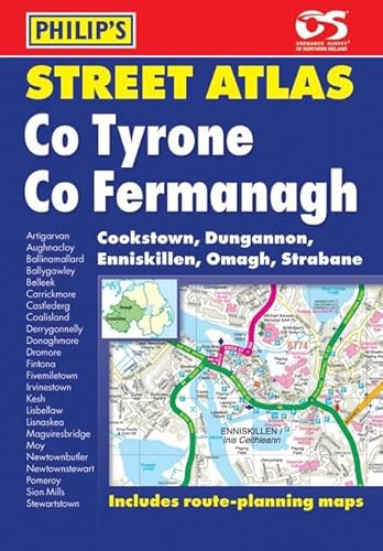
Philip's Street Atlas Tyrone and Fermanagh: Pocket
Editore:
Philip's
(2006)
ISBN 10: 0540089346
ISBN 13: 9780540089345
Antico o usato
Paperback
Quantit�: 2
Da:
Valutazione libreria
Descrizione libro Paperback. Condizione: Very Good. The book has been read, but is in excellent condition. Pages are intact and not marred by notes or highlighting. The spine remains undamaged. Codice articolo GOR002445541
Compra usato
EUR 54,76
Convertire valuta
Foto dell'editore
Philips Street Atlas Tyrone and Fermanagh: Pocket
Editore:
Philips
(2006)
ISBN 10: 0540089346
ISBN 13: 9780540089345
Antico o usato
paperback
Quantit�: 1
Da:
Valutazione libreria
Descrizione libro paperback. Condizione: Used; Good. Dispatched, from the UK, within 48 hours of ordering. This book is in good condition but will show signs of previous ownership. Please expect some creasing to the spine and/or minor damage to the cover. Codice articolo CHL9568710
Compra usato
EUR 56,11
Convertire valuta