Articoli correlati a Bournemouth Street Atlas
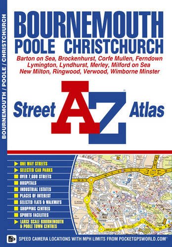

This atlas contains 70 pages of coloured street mapping extending from central Bournemouth, Poole, Christchurch and Lymington to include coverage of:
- Ringwood, West Moors, Ashley Heath, Wimborne Minster, Ferndown, Corfe Mullen, Merley, Bournemouth International Airport, Bransgore, Sway, Upton, Canford Heath, Charminster, Fairmile, Burton, Highcliffe, New Milton, Everton, Hamworthy, Parkstone, Boscombe, Southbourne, Mudeford, Milford On Sea, Brownsea Island and Sandbanks.
- Covered separately are Verwood, Lyndhurst and Brockenhurst.
- Also featured are large scale town centre plans of Bournemouth and Poole.
Postcode districts, one-way streets and safety camera locations with their maximum speed limit are featured on the mapping.
The index section lists streets, selected flats, walkways and places of interest, place, area and station names, hospitals and hospices covered by this atlas.
Le informazioni nella sezione "Riassunto" possono far riferimento a edizioni diverse di questo titolo.
- EditoreGeographers A-Z Map Company
- Data di pubblicazione2009
- ISBN 10 1843486806
- ISBN 13 9781843486800
- RilegaturaCopertina flessibile
- Numero edizione6
- Numero di pagine104
Compra usato
Condizioni: molto buonoThe book has been read, but is... Scopri di pi� su questo articolo

EUR 2,86
Spese di spedizione:
EUR 5,60
Da: Regno Unito a: U.S.A.
I migliori risultati di ricerca su AbeBooks
Foto dell'editore
Bournemouth Street Atlas (A-Z Street Atlas S.)
Editore:
HarperCollins Publishers, United Kingdom
(2009)
ISBN 10: 1843486806
ISBN 13: 9781843486800
Antico o usato
Paperback
Quantit�: 1
Da:
Valutazione libreria
Descrizione libro Paperback. Condizione: Very Good. The book has been read, but is in excellent condition. Pages are intact and not marred by notes or highlighting. The spine remains undamaged. Codice articolo GOR002772276
Compra usato
EUR 2,86
Convertire valuta
Foto dell'editore
Bournemouth Street Atlas (A-Z Street Atlas S.)
Editore:
Geographers A-Z Map Company
(2009)
ISBN 10: 1843486806
ISBN 13: 9781843486800
Antico o usato
paperback
Quantit�: 1
Da:
Valutazione libreria
Descrizione libro paperback. Condizione: Good. All orders are dispatched the following working day from our UK warehouse. Established in 2004, we have over 500,000 books in stock. No quibble refund if not completely satisfied. Codice articolo mon0006670624
Compra usato
EUR 2,54
Convertire valuta
Foto dell'editore
Bournemouth Street Atlas (A-Z Street Atlas)
Editore:
Geographers' A-Z Map Co Ltd
(2009)
ISBN 10: 1843486806
ISBN 13: 9781843486800
Antico o usato
Brossura
Quantit�: 1
Da:
Valutazione libreria
Descrizione libro Condizione: Very Good. 1685101293. 5/26/2023 11:41:33 AM. Codice articolo U9781843486800
Compra usato
EUR 3,16
Convertire valuta