
Importo totale (1 articolo articoli):
Destinazione ordine:

rapkin winkles engravers (2 risultati)
Tipo di articolo
- Tutti i tipi di prodotto
- Libri (1)
- Riviste e Giornali
- Fumetti
- Spartiti
- Arte, Stampe e Poster
- Fotografie
- Mappe
- Manoscritti e Collezionismo cartaceo (1)
Condizioni
- Tutte
- Nuovi
- Antichi o usati (2)
Legatura
- Tutte
- Rilegato
- Brossura
Ulteriori caratteristiche
- Prima ed.
- Copia autograf.
- Sovracoperta
- Con foto (1)
- Non Print on Demand (2)
Spedizione gratuita
- Spedizione gratuita negli USA
Paese del venditore
Valutazione venditore
-
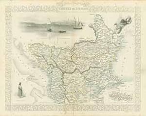
Turkey in Europe (Map).
Editore: London: London Printing And Publishing Company, [1860s - 1890s?]., 1890
Manoscritto / Collezionismo cartaceo
Condizione: Good. 11 x 14 inches. Very Good. Minor foxing. Folded, hand-colored map of Turkey in Europe.
-

No Binding. Condizione: Near Fine. H. Winkles [Illustrator]; T. Wrightson [Engraver] (illustratore). Undated on map but 1851. Steel engraved map with outlines in red of part of the coastlines of Australia, Nippon [Japan] and the United States colour as well as some of the very small Pacific islands. Four vignettes - Resolution Bay [Marquesas]; Kalakakooa, Sandwich Islands ; Otaheite; Harbour of Dory, New Guinea. Overall size, With margins - 35.5cm by 28cm. Vertical fold at center. Clean and unmarked, no damage. Image available. Postage at cost - options available.
