
Importo totale (1 articolo articoli):
Destinazione ordine:

atlas kentucky (184 risultati)
Vai alla pagina principale dei risultati di ricerca
Tipo di articolo
- Tutti gli articoli
- Libri (173)
- Riviste e Giornali
- Fumetti
- Spartiti
- Arte, Stampe e Poster (3)
- Fotografie
- Mappe (8)
-
Manoscritti e
Collezionismo cartaceo
Condizioni
Legatura
Ulteriori caratteristiche
Spedizione gratuita
Paese del venditore
Valutazione venditore
-

Status of Preparation of Hydrologic Atlases for Kentucky. Scale 1:1,000,000 (Kentucky Geological Survey and United States Geological Survey).
Editore: Kentucky Geological Survey and United States Geological Survey., 1967
No Binding. Condizione: Good. Large Folded sheet consisting of Base Map showing coverages available; light creasing of corner of sheet; small tear where folded; o/w in good condition. Map.
-

The Kentucky Breeding Bird Atlas
Editore: University Press of Kentucky, 1996
ISBN 10: 0813119650ISBN 13: 9780813119656
Libro
hardcover. Condizione: Very Good. Connecting readers with great books since 1972! Used books may not include companion materials, and may have some shelf wear or limited writing. We ship orders daily and Customer Service is our top priority!.
Ulteriori offerte da altri venditori AbeBooks
Nuovo - A partire da EUR 33,38
Usato - A partire da EUR 6,83
Scopri anche Rilegato Prima edizione
-

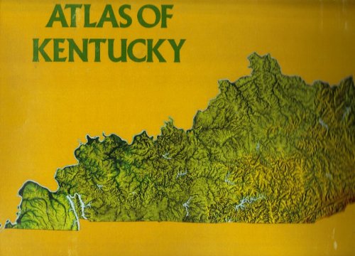
Atlas of Kentucky
Editore: University Press of Kentucky, 1998
ISBN 10: 0813120055ISBN 13: 9780813120058
Libro
Condizione: Very Good. Item in very good condition! Textbooks may not include supplemental items i.e. CDs, access codes etc.
Ulteriori offerte da altri venditori AbeBooks
Nuovo - A partire da EUR 20,30
Usato - A partire da EUR 10,38
Scopri anche Rilegato Prima edizione Copia autografata
-
Stapled. Condizione: Good. No Jacket. This copy is in good condition with light wear overall. Size: Folio - over 12" - 15" tall.
-
Atlas of Kentucky
Editore: University Press of Kentucky, 1977
ISBN 10: 0813113482ISBN 13: 9780813113487
Libro
loose_leaf. Condizione: Very Good. Connecting readers with great books since 1972! Used books may not include companion materials, and may have some shelf wear or limited writing. We ship orders daily and Customer Service is our top priority!.
Ulteriori offerte da altri venditori AbeBooks
Usato - A partire da EUR 9,62
-
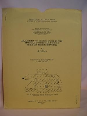
AVAILABILITY OF GROUND WATER IN THE MAYFIELD QUADRANGLE, JACKSON PURCHASE REGION, KENTUCKY/; HYDROLOGIC INVESTICATIONS ATLAS HA-164, 1965
Editore: United States Geological Survey/USGS/Government Printing Office/GPO, Washington, DC, 1965
Da: Robert Gavora, Fine & Rare Books, ABAA, Talent, OR, U.S.A.
Membro dell'associazione: ABAA CBA ILAB
Valutazione venditore:

Mappa
Map. Large folded map sheet with sections and descriptions. Fine as new sheet in near fine paper sleeve. Map.
-
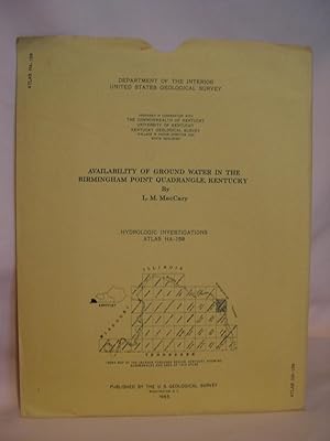
AVAILABILITY OF GROUND WATER IN THE BIRMINGHAM POINT QUADRANGLE, KENTUCKY; HYDROLOGIC INVESTICATIONS ATLAS HA-159, 1965
Editore: United States Geological Survey/USGS/Government Printing Office/GPO, Washington, DC, 1965
Da: Robert Gavora, Fine & Rare Books, ABAA, Talent, OR, U.S.A.
Membro dell'associazione: ABAA CBA ILAB
Valutazione venditore:
Mappa
Map. Large folded color map sheet with sections and descriptions. Fine as new sheet in near fine paper sleeve. Map.
-
Availability of Ground Water in Boone, Campbell, Grant, Kenton and Pendleton Counties, Kentucky (United States Geological Survey Hydrologic Investigations Atlas HA-15).
Editore: United States Geological Survey., 1960
No Binding. Condizione: Very Good. Three (3) large folded sheets consisting of a geologic map, a map showing availability of groundwater, and a columnar section summarizing water-bearing character of the rocks; in printed envelope; ex-corporate library; in very good condition. Map.
-
Availability of Ground Water in Butler and Ohio Counties, Kentucky (United States Geological Survey Hydrologic Investigations Atlas HA-26).
Editore: United States Geological Survey., 1962
No Binding. Condizione: Very Good. Three (3) large folded sheets consisting of a geologic map, a map showing availability of groundwater, and a columnar section summarizing the stratigraphy, lithology and hydrology; in printed envelope; ex-corporate library; in very good condition. Map.
-
Availability of Ground Water in Allen, Barren, Edmonson, Green, Hart, Logan, Metcalfe, Monroe, Simpson and Warren Counties, Kentucky (United States Geological Survey Hydrologic Investigations Atlas HA-32).
Editore: United States Geological Survey., 1962
No Binding. Condizione: Very Good. Three (3) large folded sheets consisting of a geologic map, a map showing availability of groundwater, and a columnar section summarizing the stratigraphy, lithology and hydrology; in printed envelope; ex-corporate library; a couple of small light stains on edge of one sheet, o/w all sheets in very good condition. Map.
-
Availability of Ground Water in Breckinridge, Grayson, Hardin, Larue and Meade Counties, Kentucky (United States Geological Survey Hydrologic Investigations Atlas HA-33).
Editore: United States Geological Survey., 1963
No Binding. Condizione: Very Good. Three (3) large folded sheets consisting of a geologic map, a map showing availability of groundwater, and a columnar section summarizing the stratigraphy, lithology and hydrology; in printed envelope; ex-corporate library; in very good condition. Map.
-
Availability of Ground Water in Boyd, Carter, Elliott, Greenup, Johnson, Lawrence, Lee, Menifee, Morgan and Wolfe Counties, Kentucky (United States Geological Survey Hydrologic Investigations Atlas HA-37).
Editore: United States Geological Survey., 1962
No Binding. Condizione: Very Good. Three (3) large folded sheets consisting of a geologic map, a map showing availability of groundwater, and a columnar section summarizing the stratigraphy, lithology and hydrology; in printed envelope; ex-corporate library; in very good condition. Map.
-
Availability of Ground Water in Bell, Clay, Jackson, Knox, Laurel, Leslie, McCreary, Owsley, Rockcastle and Whitley Counties, Kentucky (United States Geological Survey Hydrologic Investigations Atlas HA-38).
Editore: United States Geological Survey., 1962
No Binding. Condizione: Very Good. Three (3) large folded sheets consisting of a geologic map, a map showing availability of groundwater, and a columnar section summarizing the stratigraphy, lithology and hydrology; in printed envelope; ex-corporate library; in very good condition. Map.
-
Hardcover. Condizione: Good. No Jacket. x-library (usual markings) EMAIL for Pictures.
-
The Kentucky Breeding Bird Atlas
Editore: The University Press of Kentucky, Lexington, Kentucky, 1996
Da: Manchester By The Book, Manchester-By-the-Sea, MA, U.S.A.
Valutazione venditore:
Libro
Hardcover. Condizione: Very Good. Clean, no markings. 372 pages.
-
Cloth. First Edition. Signed and inscribed by the editors. Book and dust jacket in very good condition.
-
An Historical Atlas Of Kentucky And Her Counties
Editore: Mayfield Printing Company, Mayfield, 1965
Libro
Soft cover. Condizione: VG. 65pp, well-illustrated with maps and historical photographs, stiff printed wraps, light general wear-only, overall very clean and bright, inside and out.
-
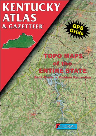
Kentucky Atlas and Gazetteer (Kentucky Atlas & Gazetteer)
Editore: Delorme, 1997
ISBN 10: 0899332161ISBN 13: 9780899332161
Libro
Condizione: Very Good. Very Good condition. A copy that may have a few cosmetic defects. May also contain a few markings such as an owner's name, short gifter's inscription or light stamp.
Ulteriori offerte da altri venditori AbeBooks
Nuovo - A partire da EUR 79,03
Usato - A partire da EUR 21,01
Scopri anche Brossura
-
Geologic Atlas of the United States, Richmond Folio, Kentucky United States Geological Survey Atlas Folio Number 46
Editore: United States Geological Survey, 1898
Da: Frost Pocket Farm - IOBA, Fleetville, PA, U.S.A.
Membro dell'associazione: IOBA
Valutazione venditore:
Prima edizione
Paperback. Condizione: Good. First edition (no additional printings listed). 18 1/2 x 21 1/2 inches, 6 pp of text + 4 color maps. Paperback, good. Age tanned, Front cover has a 8 inch and a 3 inch tear on top edge, apx 3/4 to 1 1/2 inch deep chipping along side edge, 1/2 to 2 inch deep chipping along side edge of rear cover, some soil and smudges on covers, 1 inch tear on top edge of textblock, otherwise tight, clean, paper crisp, unmarked. Of particular interest is the topographic map, which clearly shows roads, towns, buildings, etc. , and considering the relatively good supply of these atlases, would be suitable in good conscience for framing. Geography; travel; mining; mineral resources; history.
-
GEOLOGIC ATLAS OF THE UNITED STATES: KENOVA KENTUCKY - WEST VIRGINIA - OHIO, FOLIO 184 - Field Edition
Editore: US Geol Surv, 1913
Libro Prima edizione
Paperback. Condizione: Very Good. 1st Edition. 122 pp.+ 3 Lge Color FoldOut Maps in pocket, Orig Olive Stiff Folder Paperback, edgewear else VG & Crisp, 1st ed.
-

AVAILABILITY OF GROUND WATER IN THE KENTUCKY PART OF THE RUSHING CREEK QUADRANGLE, KENTUCKY-TENNESSEE; HYDROLOGIC INVESTIGATIONS ATLAS HA-160, 1965
Editore: United States Geological Survey/USGS/Government Printing Office/GPO, Washington, DC, 1965
Da: Robert Gavora, Fine & Rare Books, ABAA, Talent, OR, U.S.A.
Membro dell'associazione: ABAA CBA ILAB
Valutazione venditore:
Mappa
Map. Large folded map and sections sheet. Fine as new sheet in very good plus paper sleeve. Map.
-
An Historical Atlas of Kentucky and Her Counties
Editore: Mayfield Printing, 1965
Libro Prima edizione
Soft cover. Condizione: Very Good. No Jacket. 1st Edition. Previous owner's name stamped to title page.
-
Geologic Atlas of the United States. Kenova Folio No. 184: Kentucky - West Virginia - Ohio
Editore: Department of the Interior, United States Geological Survey, Washington, D. C., 1912
Da: West Side Book Shop, ABAA, Ann Arbor, MI, U.S.A.
Membro dell'associazione: ABAA ILAB MWABA
Valutazione venditore:
Prima edizione
Printer Wrapper. Condizione: Very Good-Very Good +. First Edition. (2), 16 (9) pp, topographical & geologic descriptions of the Kenova Quadrangle, including sketches, figures, and three large color plates. First Edition: Engraved and printed by the U.S. Geological Survey, 1912. "The features on the topographic map are of three kinds -- (1) inequalities of surface, called relief, as plains, plateaus, valleys, hills, and mountains; (2) distribution of water, called drainage, as streams, lakes, and swamps; (3) the works of man, called culture, as roads, railroads, boundaries, villages, and cities." Lighly soiled rear wrapper with minor edge wear. Clean, tight and strong binding with no underlining, highlighting or marginalia. Heavy card stock with black backstrip. Size: Elephant Folio. Book.
-
Geologic Atlas of the United States. Richmond Folio: Kentucky [Folio 46]
Editore: Department of the Interior, United States Geological Survey, Washington, D. C., 1898
Da: West Side Book Shop, ABAA, Ann Arbor, MI, U.S.A.
Membro dell'associazione: ABAA ILAB MWABA
Valutazione venditore:
Prima edizione
Printer Wrapper. Condizione: Good-Very Good-. First Edition. (2) 4 pp + 4 Sheets, topographical & geologic descriptions of the Richmond Quadrangle, including sketches, figures, a topography sheet, a historical geology sheet, an economic geology sheet, and a structure-section sheet. First Edition: Engraved and printed by the U.S. Geological Survey, 1898. "The features on the topographic map are of three kinds -- (1) inequalities of surface, called relief, as plains, plateaus, valleys, hills, and mountains; (2) distribution of water, called drainage, as streams, lakes, and swamps; (3) the works of man, called culture, as roads, railroads, boundaries, villages, and cities." Three 6" or less closed tears to bottom edge front wrapper with small chips to fore-edges of wrappers, and light age-toning and soiling to same. Clean, tight and strong binding with no underlining, highlighting or marginalia. Heavy card stock with black backstrip. Size: Elephant Folio. Book.
-
Atlas of Kentucky
Editore: First edition, published by The University Press of Kentucky, Lexington, 1998., 1998
ISBN 10: 0813120055ISBN 13: 9780813120058
Libro Prima edizione
Hardcover. Condizione: Near Fine. Condizione sovraccoperta: Very Good. 1st Edition. Very good to fine with very good dust jacket. Dust jacket is rubbed at bottom of spine and bottom corners and is mildly bumped along bottom edges. 316 pages with index, maps, diagrams and photographs. plus two plastic overlays. 4to size.
-

DeLorme Atlas & Gazetteer: Kentucky Delorme
Editore: Delorme Mapping Company, 2022
ISBN 10: 1946494704ISBN 13: 9781946494702
Libro
Condizione: New. Brand New! Not Overstocks or Low Quality Book Club Editions! Direct From the Publisher! We're not a giant, faceless warehouse organization! We're a small town bookstore that loves books and loves it's customers! Buy from Lakeside Books!.
Ulteriori offerte da altri venditori AbeBooks
Nuovo - A partire da EUR 21,77
Usato - A partire da EUR 24,96
Scopri anche Brossura
-
MAP:'Kentucky'.From Cram's Superior Reference Atlas of Kansas & The World
Editore: George F. Cram, NY, 1907
Arte / Stampa / Poster Prima edizione
Unbound. Condizione: Very Good. Handcolored Map (illustratore). 1st. double page map, suitable for framing; small repair at lower edge [2 scans=full image] Size: 22" x 14".
-

Kentucky Atlas & Gazetteer
Editore: DELORME PUBLISHING, 2010
ISBN 10: 0899333400ISBN 13: 9780899333403
Libro
Paperback. Condizione: Very Good. Connecting readers with great books since 1972! Used books may not include companion materials, and may have some shelf wear or limited writing. We ship orders daily and Customer Service is our top priority!.
Ulteriori offerte da altri venditori AbeBooks
Nuovo - A partire da EUR 51,68
Usato - A partire da EUR 27,19
Scopri anche Brossura
-
Condizione: As New. Cloth; 372p., illus., maps.
-
Condizione: As New. Cloth; 372p., illus., maps.


