Importo totale (1 articolo articoli):
Destinazione ordine:

commercial maps united states index (4 risultati)
Vai alla pagina principale dei risultati di ricerca
Tipo di articolo
- Tutti gli articoli
- Libri (4)
- Riviste e Giornali
- Fumetti
- Spartiti
- Arte, Stampe e Poster
- Fotografie
- Mappe
-
Manoscritti e
Collezionismo cartaceo
Condizioni
- Tutte
- Nuovi
- Antichi o usati
Legatura
Ulteriori caratteristiche
- Prima edizione (1)
- Copia autografata
- Sovraccoperta
- Con foto (3)
- No print on demand
Paese del venditore
Valutazione venditore
-
A Descriptive Review of the Commercial, Industrial, Agricultural, Historical Development of the State of New York with Special Charts, Detail Maps and Profuse Half-Tone Illustrations from All Parts of the Empire State Containing, in Addition, Statistical Charts Pertaining to the Increased Cost of Living, Newly Engraved Maps of Every State in the United States, Detailed Maps of Every Country, State and Kingdom. Together with a Complete and Adequate Locating Index to All Cities, Towns, Villages and Post Offices in the United States, Giving Populations to Every Incorporated City and Village Therein.
Editore: George F. Cram Company, 1915
Da: Yesterday's Muse, ABAA, ILAB, IOBA, Webster, NY, U.S.A.
Membro dell'associazione: ABAA ILAB IOBA
Valutazione venditore:

Libro
Large Hardcover. Condizione: Good. No Jacket. Front board soiled, hinges starting, ink name on front free endpaper. 1915 Large Hardcover. 300 pp. Includes black-and-white illustrations an color maps. A Descriptive Review of the Commercial, Industrial, Agricultural, Historical Development of the State of New York with Special Charts, Detail Maps and Profuse Half-Tone Illustrations from All Parts of the Empire State Containing, in Addition, Statistical Charts Pertaining to the Increased Cost of Living, Newly Engraved Maps of Every State in the United States, Detailed Maps of Every Country, State and Kingdom. Together with a Complete and Adequate Locating Index to All Cities, Towns, Villages and Post Offices in the United States, Giving Populations to Every Incorporated City and Village Therein.
-

DESCRIPTIVE REVIEW Showing DEVELOPMENT of the State of PENNSYLVANIA: Historical, Agricultural, Commercial, Industrial. With Detail Maps & Profuse Half-tone Illustrations from all Parts of The Keystone State, Maps of Every State in United States, Every Country, State & Kingdom. Complete Index Giving Populations
Editore: George Cram Company, Chicago & New York, 1916
Da: Peter L. Masi - books, MONTAGUE, MA, U.S.A.
Membro dell'associazione: SNEAB
Valutazione venditore:

Hardcover. Condizione: Used - Very Good. George Cram Company, Chicago & New York, copyright 1916. 338 pages. Color maps. 15.5 x 12" gold & blind stamped green cloth. Tips worn, VG.
-
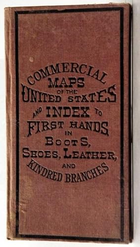
COMMERCIAL MAPS OF THE UNITED STATES AND INDEX TO FIRST HANDS IN BOOTS, SHOES, LEATHER AND KINDRED BRANCHES.
Editore: NY:Bradstreet Company., 1885
Da: Parnassus Book Service, Inc, YarmouthPort, MA, U.S.A.
Membro dell'associazione: SNEAB
Valutazione venditore:
Prima edizione
hard cover. Condizione: Very Good. First Edition. 104pp. Hard bound. 12mo. Cloth binding. Except for some light sun-fading of binding, a very good, tight clean copy. Contains 50 colored maps of existing states, territories, District of Columbia and street map of lower end of Manhattan. Maps by O. A. Wilcox. Each map faces full-page advertisements for suppliers and manufacturers of the shoe industry. All advertisements are for New York or Boston sources. In addition there are entries for business law; 7 pages of an index of business houses classified under business headings alphabetically; stage routes, city car routes,metropolitan elevated railroad, New York elevated railroad, hotels, railroad depots, banks, in New York and Boston.
-
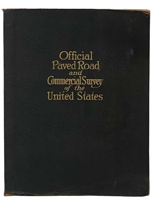
Official Paved Road and Commercial Survey of the United States: Sectional Road Maps Covering the Entire United States and Lower Canada - Complete Series of State Maps in Colors for Commercial Reference - a Double Page United States Map Showing Transcontinental Highways - Logs, Transcontinental Federal Highways - Map and Information Concerning Air Mail and Air Express - Maps of Principal Cities in the United States Showing Main Highways - Ready Reference Index Locating Cities, Towns and Villages with Population According to Latest Federal Census - Descriptive Gazetteer of United States and Territorial Possessions.
Editore: National Map Company, 1929
Da: Yesterday's Muse, ABAA, ILAB, IOBA, Webster, NY, U.S.A.
Membro dell'associazione: ABAA ILAB IOBA
Valutazione venditore:
Large Softcover. Condizione: Good. Reprint. Edition 1283.' Corners worn, covers a bit soiled, crease to bottom corner. 1929 Large Softcover. xlviii, 29-116 pp. Fabricoid cover over post-bound text block. Ten publisher coupons for ordering of revised maps bound in after text. A particularly important road atlas, in that it is among the first to include the newly numbered federal highway system -- the Bureau of Public Roads and the Federal Highway Administration teamed up to accomplish these name changes in 1925 (State Planning & Research Guide, Vol. 59, No. 4, Spring 1996). OCLC lists four different editions of this title, printed in 1928, 1929, 1931, and 1935. The first two are based on the 1920 census, the second two on the 1930 census. The 1929 edition is designated as 'Edition 1263'. Also includes two pages on national parks, an extensive index, and gazetteer.