Importo totale (1 articolo articoli):
Destinazione ordine:

history world maps rise di ashworth mick (7 risultati)
Vai alla pagina principale dei risultati di ricerca
Tipo di articolo
- Tutti gli articoli
- Libri (7)
- Riviste e Giornali
- Fumetti
- Spartiti
- Arte, Stampe e Poster
- Fotografie
- Mappe
-
Manoscritti e
Collezionismo cartaceo
Condizioni
- Tutte
- Nuovi
- Antichi o usati
Legatura
Ulteriori caratteristiche
- Prima edizione (2)
- Copia autografata
- Sovraccoperta (3)
- Con foto (5)
- No print on demand
Spedizione gratuita
Paese del venditore
Valutazione venditore
-
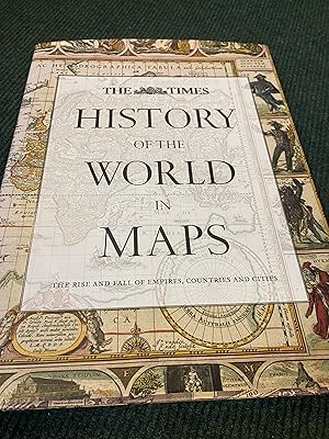
History of the World in Maps: The rise and fall of Empires, Countries and Cities
Editore: Times Books, 2014
ISBN 10: 0007588240ISBN 13: 9780007588244
Libro
Condizione: Good. Most items will be dispatched the same or the next working day. Small Tears to the Dust Jacket, Slipcase, or cover.
-
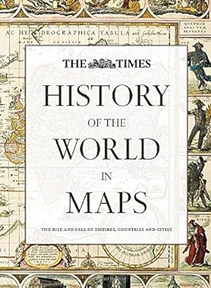
History of the World in Maps: The rise and fall of Empires, Countries and Cities
Editore: Times Books, 2016
ISBN 10: 0008147795ISBN 13: 9780008147792
Libro
Condizione: VeryGood. Most items will be dispatched the same or the next working day.
-
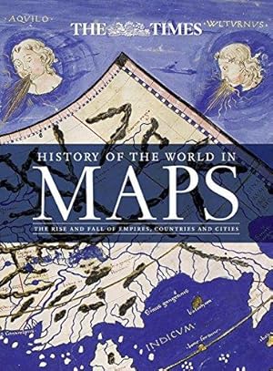
History of the World in Maps: The Rise and Fall of Empires, Countries and Cities
Editore: Times Books, 2014
ISBN 10: 0007588240ISBN 13: 9780007588244
Libro Prima edizione
Hardcover. Condizione: Fine. 1st Edition. Fine condition. A beautifully illustrated guide. 2014 1st edition. Bright, tight and clean. Unclipped dust jacket with slight signs of being shelved at the edges. No inscriptions. 256pp. *This book is large and rather heavy. Additional postage will be applicable - please contact us to query if you wish*.
-

History of the world in maps: the rise and fall of empires, countries and cities / project leader and chief editor: Mick Ashworth ; history editor and main contributor: Philip Parker
Editore: Glasgow: Times Books, 2015
Reprint. Fine cloth copy in an equally fine dust wrapper. Particularly well-preserved overall; tight, bright, clean and especially sharp-cornered. Physical description: 256 pages: illustrations (colour), maps (black and white, and colour); 34 cm. Subjects: World history; Maps. Historical geography; Maps. World History 2014; Atlases. 2 Kg.
-
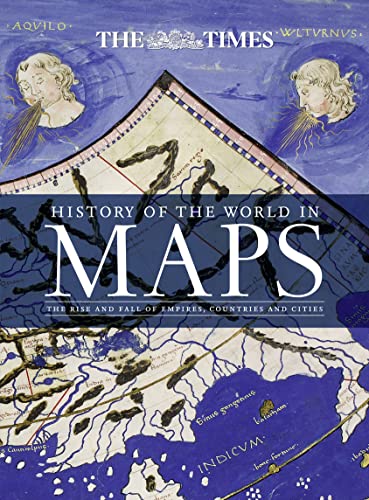
History of the World in Maps: The rise and fall of Empires, Countries and Cities
Editore: HarperCollins Publishers, United Kingdom, London, 2015
ISBN 10: 0008147795ISBN 13: 9780008147792
Libro
Paperback. Condizione: Very Good. From Babylonian tablets to Google Maps, the world has evolved rapidly, along with the ways in which we see it. In this time, cartography has not only kept pace with these changes, but has often driven them. In this beautiful book, over 70 maps give a visual representation of the history of the world. Every map tells a story and this book tells the incredible history of our world through maps, and includes many famous examples of cartography, along with some that deserve to be better known. See countries and cities come and go, empires rise and fall, significant geographical discoveries, and key historical events unfold. Key maps shown include: Babylonian clay tablets, c.2300 BC and c.600 BC some of the worlds oldest surviving maps. Waldseemuller World Map, 1507 the first map to use the name America for the New World. Waghenaer chart, 1584 a forerunner to modern nautical charts. Abel Buell map of North America, 1782 the first map of the newly independent United States that was produced in America by an American. The Scramble for Africa, 1852/1898 maps of new colonies being created. Ypres, 1918 map of the aftermath of the First World War. Cuban Missile Crisis, 1962 map used by President John F. Kennedy during the crisis. The book has been read, but is in excellent condition. Pages are intact and not marred by notes or highlighting. The spine remains undamaged.
-
History of the World in Maps: The rise and fall of Empires, Countries and Cities
Editore: Times Books, 2015
ISBN 10: 0008147795ISBN 13: 9780008147792
Libro Prima edizione
Hardcover. Condizione: Very Good. Condizione sovraccoperta: Good. 1st Edition. good.