Articoli correlati a 2013 Collins Map of Ireland
Sinossi
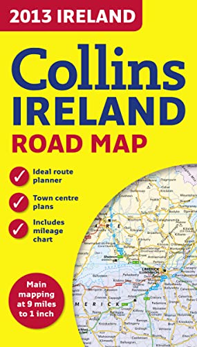
Full colour map of Ireland at 9 miles to 1 inch (1:570,240), with clear, detailed road network and counties and administrative areas shown in colour. This double-sided map covers the whole of Ireland, and is ideal for reference or route planning.
The map shows the road network in detail for easy route planning. It is ideal for business users also, with its political colouring of local council areas.
MAIN FEATURES
- Fully updated for 2013.
- Administrative areas shown in colour.
- Clear, detailed road network.
- Town and city names, rivers, lakes, spot heights, railway lines and canals are clearly shown.
- City/town centre street plans of Belfast, Cork, Dublin, D�n Laoghaire, Galway, Limerick Londonderry/Derry and Waterford, showing places of interest.
- Full Index to place names.
- Mileage chart.
- Car ferry routes.
- Key in English, French and German.
AREA OF COVERAGE
Covers the whole of the Republic of Ireland and Northern Ireland.
Le informazioni nella sezione "Riassunto" possono far riferimento a edizioni diverse di questo titolo.
(nessuna copia disponibile)
Cerca: Inserisci un desiderataNon riesci a trovare il libro che stai cercando? Continueremo a cercarlo per te. Se uno dei nostri librai lo aggiunge ad AbeBooks, ti invieremo una notifica!
Inserisci un desiderata