Articoli correlati a Cartography: Visualization of Spatial Data

Sinossi
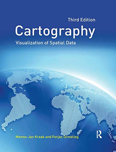
This revised and updated edition integrates the latest in modern technology with traditional cartographic principles. While providing a solid conceptual foundation in cartographic methodology, the text also introduces the very latest advances that have greatly influenced cartographic techniques. The new edition reflects the increasing importance of cartography as the basis for further geographical study, the text has been updated throughout and chapters on the latest developments in cartography have been integrated. There is also a more widespread emphasis on multimedia and the web.
Le informazioni nella sezione "Riassunto" possono far riferimento a edizioni diverse di questo titolo.
L'autore
Menno-Jan Kraak is professor in Geovisualization at ITC, The International Institute of Geo-information Sciences and Earth Observation in Enschede, The Netherlands.
Ferjan Ormeling is professor in Cartography at the Faculty of Geographical Sciences at Utrecht University, The Netherlands.
Contenuti
Contents
Preface
Acknowledgements
Chapter 1 Georgraphic information science and maps
1.1 The map as an interface
1.2 Geospatial data
1.3 Geographic information systems
1.4 Geospatial analysis operations
1.5 The spatial infrastructure and maps
Chapter 2 Data acquisition
2.1 The need to know acquisition methods
2.2 Vector file characteristics
2.3 Raster file characteristics
2.4 Deriving data from existing maps
2.5 Working with digital data
2.6 Control and accuracy
Chapter 3 Map characteristics
3.1 Maps are unique
3.2 Definitions of cartography
3.3 The cartographic communication process
3.4 Map functions and map types
Chapter 4 GIS applications: which map to use?
4.1 Maps and the nature of GIS applications
4.2 Cadastre and utilitites: use of large-scale maps
4.3 Geospatial analysis in geography: use of small-scale maps
4.4 Geospatial, thematic and temporal comparisons
Chapter 5 Map design and production
5.1 Introduction
5.2 Symbols to portray data related to points, lines, areas and volumes
5.3 Graphic variables
5.4 Conceptual and design aspects of text on the map
5.5 Requiremenets for the cartographic component of GIS packages
Chapter 6 Topography
6.1 Georeferencing
6.2 Map projections
6.3 Geometric transformations
6.4 Generalization
6.5 Relief
6.6 Topographic data: mapping and charting organizations
6.7 Geographical names
Chapter 7 Statistical mapping
7.1 Statistical surveys
7.2 Data analysis
7.3 Data classification
7.4 Catographical data analysis
7.5 Mapping methods
Chapter 8 Mapping time
8.1 Introduction
8.2 Mapping change
8.3 Animation
8.4 Dynamic variables
Chapter 9 Maps at work: presenting and using geospatial data in maps and atlases
9.1 Introduction
9.2 Paper atlases
9.3 Electronic atlases
9.4 Maps at work: map use functions
9.5 Working with (web-based) electronic atlases
Chapter 10 Maps at work: analysis and geovisualisation
10.1
10.2 Geovisual analytics
Chapter 11 Cartography at work: maps as decision tools
11.1 Again: why maps?
11.2 Management and documentation of spatial information
11.3 Outdated data: at work with the Digital Chart of the World
11.4 Acessibility: Cartography, GIS and geospatial information policy
11.5 Copyright and liability
11.6 Map use and usability
11.7 Maps and GIScience revisited
References
Index
Le informazioni nella sezione "Su questo libro" possono far riferimento a edizioni diverse di questo titolo.
EUR 9,76 per la spedizione da Regno Unito a Italia
Destinazione, tempi e costiRisultati della ricerca per Cartography: Visualization of Spatial Data
Cartography: Visualization of Spatial Data
Da: Anybook.com, Lincoln, Regno Unito
Condizione: Fair. This is an ex-library book and may have the usual library/used-book markings inside.This book has soft covers. Clean from markings. In fair condition, suitable as a study copy. Please note the Image in this listing is a stock photo and may not match the covers of the actual item,600grams, ISBN:9780273722793. Codice articolo 8970170
Quantità: 1 disponibili
Cartography: Visualization of Spatial Data
Da: Phatpocket Limited, Waltham Abbey, HERTS, Regno Unito
Condizione: Good. Your purchase helps support Sri Lankan Children's Charity 'The Rainbow Centre'. Ex-library, so some stamps and wear, but in good overall condition. Our donations to The Rainbow Centre have helped provide an education and a safe haven to hundreds of children who live in appalling conditions. Codice articolo Z1-X-013-02378
Quantità: 3 disponibili

