
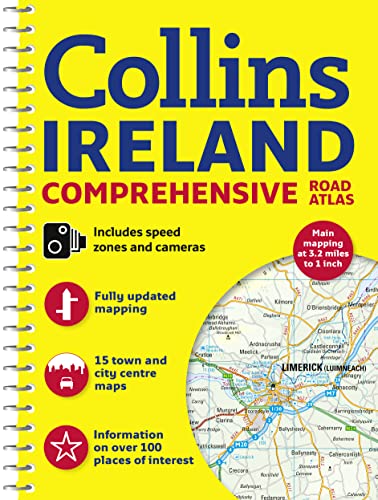
Collins Ireland Comprehensive Road Atlas
Collins Maps
ISBN 10: 0008102287 ISBN 13: 9780008102289
Editore: HarperCollins UK, 2015
Usato
Brossura
Da
World of Books (was SecondSale), Montgomery, IL, U.S.A.
Valutazione del venditore 5 su 5 stelle

Venditore AbeBooks dal 20 dicembre 2007
Questo articolo specifico non è più disponibile.
Riguardo questo articolo
Descrizione:
Item in acceptable condition! Textbooks may not include supplemental items i.e. CDs, access codes etc. Codice articolo 00104720850
Riassunto:
Clear, detailed road atlas of Ireland in a handy A4 spiral-bound format.
This comprehensive, general purpose road atlas of the whole of Ireland is ideal for both business and pleasure use. The atlas contains a range of mapping scales:
• 9 miles to 1 inch route planning map
• Main maps at 3.2 miles to 1 inch, which are ideal for navigation.
• A wide selection of detailed town centre street plans.
This 2015 edition boasts road mapping packed with detail – showing colour classified road network, toll roads, land heights, the location of safety cameras, Blue Flag and Green Coast beaches, tourist information centres and a wide range of tourist attractions. There is also comprehensive guide information for visitors to Belfast, Cork, Dublin and Limerick. The locations of Speed Enforcement Zones, which highlight roads that have a high risk of accidents as identified by the Garda and the National Roads Authority, are included.
There is also a wide range of fully indexed town and city centre maps. These are:
Bangor, Belfast, Cork, Drogheda, Dublin, Dún Laoghaire, Galway, Kilkenny, Killarney, Limerick, Lisburn, Londonderry (Derry), Newry, Newtownabbey and Waterford.
Informazioni sull'autore:
Explore the world through accurate and up-to-date mapping.
Le informazioni nella sezione "Su questo libro" possono far riferimento a edizioni diverse di questo titolo.
Dati bibliografici
Titolo: Collins Ireland Comprehensive Road Atlas
Casa editrice: HarperCollins UK
Data di pubblicazione: 2015
Legatura: Brossura
Condizione: Acceptable