Map of the Roman Empire in its Greatest Extent; Ancient Greece
S. Augustus Mitchell
Data di pubblicazione: 1878
Usato
Da
Art Source International Inc., Boulder, CO, U.S.A.
Valutazione del venditore 5 su 5 stelle
![]()
Venditore AbeBooks dal 13 luglio 2001
Questa copia non � pi� disponibile. Ecco le corrispondenze migliori per Map of the Roman Empire in its Greatest Extent; Ancient Greece di S. Augustus Mitchell.
Riguardo questo articolo
Descrizione:
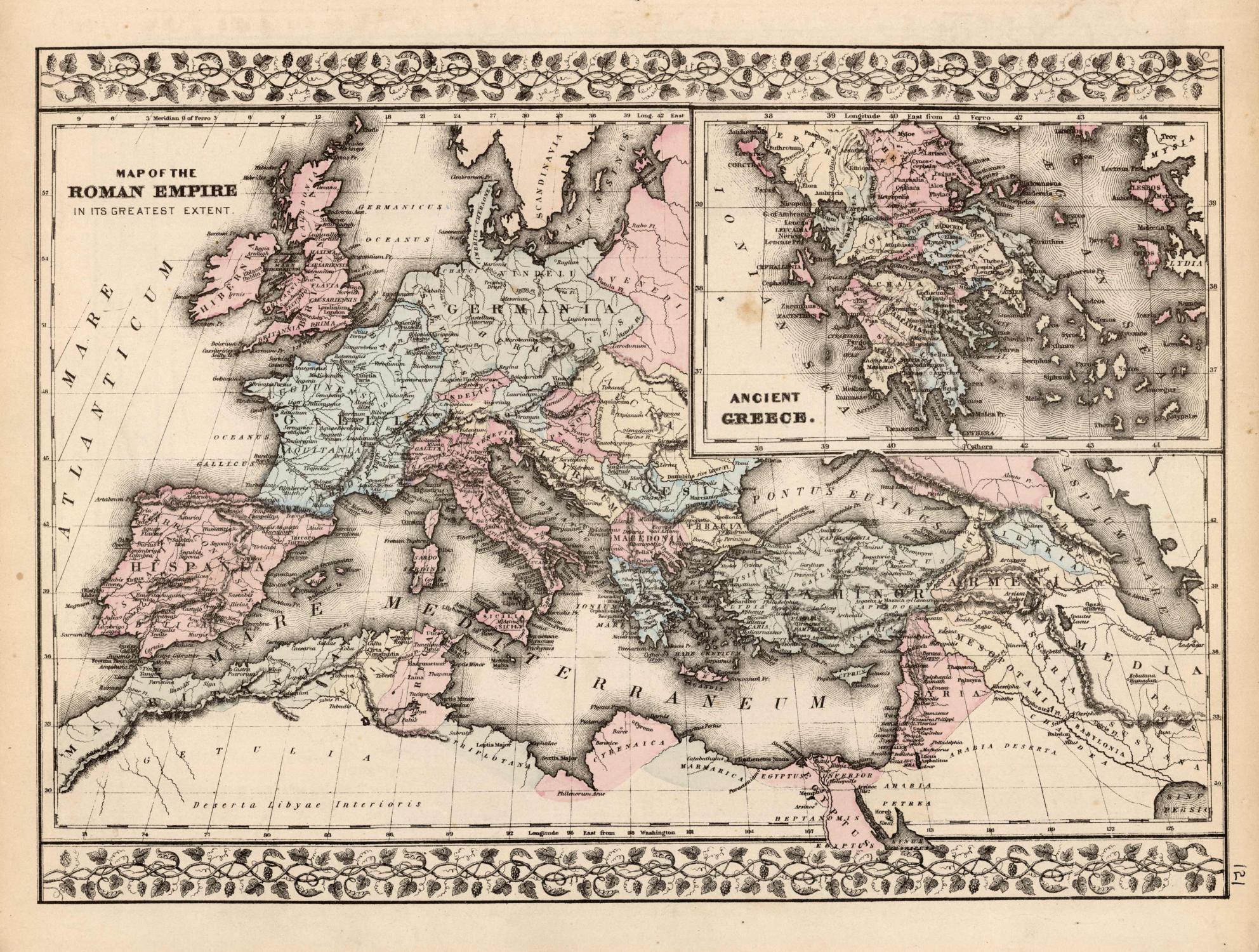
This map of the Roman Empire and Ancient Greece was produced by Augustus Mitchell in 1878 for his New General Atlas. Highlights of this map are Mitchells traditional grapevine border, characteristic pastel coloring and abundant details of geographical features. This 1878 map offers a fascinating perspective of areas that have since undergone significant growth and change, in addition to the value as great examples of Mitchell's classic mapmaking style. This map measure 15 inches by 10 inches. Codice articolo 75682
Dati bibliografici
Titolo: Map of the Roman Empire in its Greatest ...
Data di pubblicazione: 1878
I migliori risultati di ricerca su AbeBooks

Immagini fornite dal venditore
Map of the Roman Empire in its Greatest Extent / Ancient Greece'
Antico o usato
Da: Art Source International Inc., Boulder, CO, U.S.A.
Valutazione del venditore 5 su 5 stelle
![]()
This map was made by S. Augustus Mitchell for "Mitchells New General Atlas" published in 1885, by WM. M. Bradley & Co. The well maintained maps in this atlas feature Mitchell's characteristic pastel coloring and abundant details of geographical features. The Roman Empire is illustrated, with an inset map of Ancient Greece. Details include the names of countries, regions, cities, mountain ranges, rivers and deserts. These 1885 maps offer a fascinating perspective of areas that have since undergone significant growth and change, in addition to their value as great examples of Mitchell's work. This map measure 14 inches by 10 Inches. Codice articolo 74968
Compra usato
EUR 71,17
Spedizione EUR 13,65
Spedito in U.S.A.
Spedito in U.S.A.
Quantit�: 3 disponibili