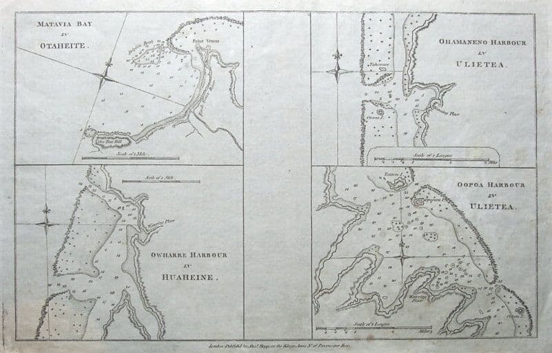
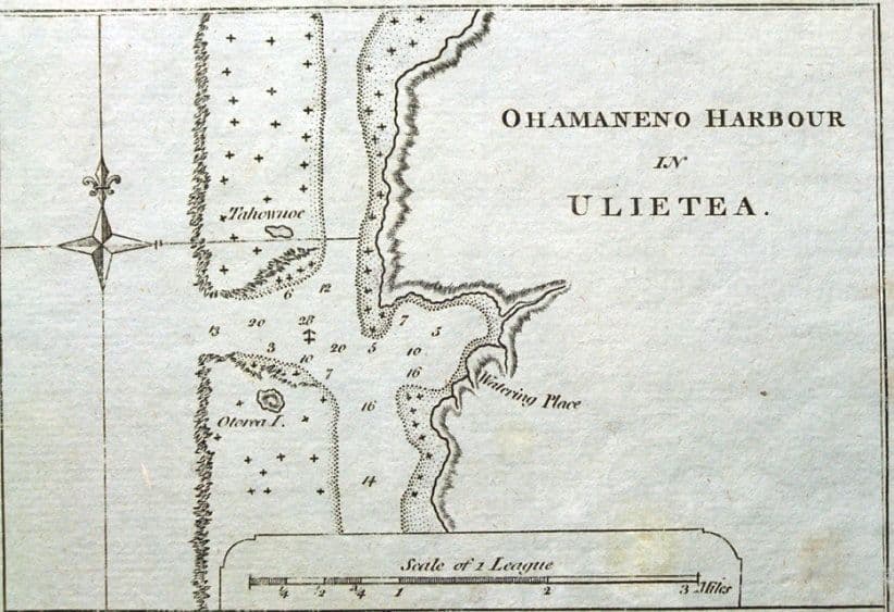
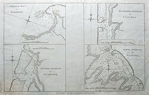
Antique Map TAHITI, PACIFIC,MATAVIA BAY,HUAHINE,RAIATIA Captain Cook, Hogg c1780
Venduto da Lindisfarne Prints, Shrewsbury, SHROP, Regno Unito
Venditore AbeBooks dal 29 agosto 2017
Usato
Quantitą: 1 disponibili
Aggiungere al carrelloVenduto da Lindisfarne Prints, Shrewsbury, SHROP, Regno Unito
Venditore AbeBooks dal 29 agosto 2017
Quantitą: 1 disponibili
Aggiungere al carrelloAntique Map MATAVIA BAY IN OTAHEITE TahitiOWHARRE IN HUAHEINE HuahineOHAMANENO HARBOUR IN ULIETEA RaiatiaOOPOA HARBOUR IN ULIETTA RaiatiaPublished London circa 1770 by Alexander Hogg in an edition of "Cook's Voyages".An interesting set of four copper engraved sea charts of the islands of Tahiti in the South Pacific. the detail includes soundings, rocks, shoals and anchorages. An few isolated spots of light browning otherwise fine condition, centre fold as issued.Approx. 13" x 8" (330mm x 210mm) printed area only with good margins beyond on hand laid paper. Please see close up image. A GENUINE ANTIQUE MAP GUARANTEED OVER 200 YEARS OLD FROM LINDISFARNE PRINTSNMK71.
Codice articolo 10369
Visita la pagina della libreria
Lindisfarne Prints is a small family business specialising in genuine antique maps and prints at affordable prices. Established in 1995 and trading online since 2000, we pride ourselves on accurate descriptions, good communications, rapid service and fair prices. To avoid confusion, no item less than 100 years old is ever offered for sale. We do not deal in reproductions, facsimiles or modern copies of any kind.
So please buy with confidence in the safe knowledge that authenticity is unfailingly...
Shipping within the UK via Royal Mail Second Class post is free of charge.
Smaller items are packed in robust board backed envelopes with extra cardboard support.
Larger items are sent in sturdy postal tubes of appropriate size.