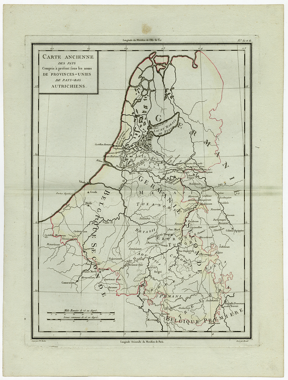
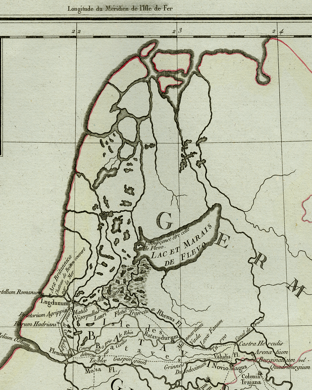
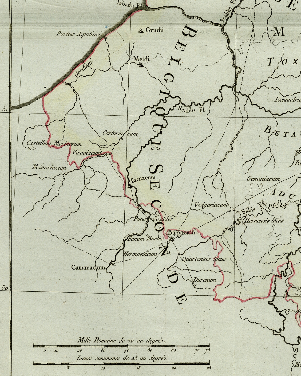
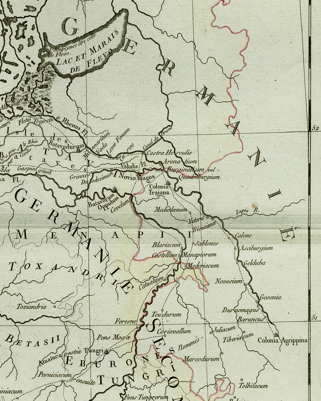
Antique Print-ANCIENT NETHERLANDS-HOLLAND-BELGIUM-Tardieu-Herault-1805
Venduto da ThePrintsCollector, Zeeland, Paesi Bassi
Venditore AbeBooks dal 3 aprile 2017
Usato
Condizione: Very Good
Quantità: 1 disponibili
Aggiungere al carrelloVenduto da ThePrintsCollector, Zeeland, Paesi Bassi
Venditore AbeBooks dal 3 aprile 2017
Condizione: Very Good
Quantità: 1 disponibili
Aggiungere al carrelloAntique print, titled: 'Carte Ancienne des Pays. Compris a present sous les noms de Provinces - Unies de Pays-Bas Autrichiens.' - Antique map, titled: Carte Ancienne des Pays. Compris a present sous les noms de Provinces - Unies de Pays-Bas Autrichiens. Map of the old countries, of the United Provinces of the Netherlands during the Roman Empire. Verso blank. Atlas Universel de Geographie physique et politique, ancienne et moderne, presenté a l'Ínstruction des écoles centrales. Engraving on laid paper. Watermark: no Made by 'Herault' after 'Pierre Tardieu'. Pierre Antoine Francois Tardieu (1757-1822). Very good, given age. Original middle fold, as issued. A small stain in top margin. General age-related toning and/or occasional minor defects from handling. Please study scan carefully. The overall size is ca. 54 x 40.8 cm. The image size is ca. 45.1 x 34 cm. The overall size is ca. 21.3 x 16.1 inch. The image size is ca. 17.8 x 13.4 inch. Storage location: B64-13.
Codice articolo 71952
Visita la pagina della libreria