
Fred troise (3 risultati)

- Rilegato
Da: Take Five Books, Ashland, OR, U.S.A.Take Five Books
Contatta il venditoreVenditore con 5 stelleCondizione: Usato - Molto buono
EUR 42,86
EUR 4,37 spedizioneSpedito in U.S.A.Quantità: 1 disponibili
Hardcover. Condizione: Very Good+. No Jacket. 4th Printing. Expedited or International shipping may cost more, large and heavy book.

Lingua: Inglese
Editore: /Lewis
- Rilegato
Da: Antiquariat Bookfarm, Löbnitz, GermaniaAntiquariat Bookfarm
Contatta il venditoreVenditore con 5 stelleCondizione: Usato
EUR 7,50
EUR 40,00 spedizioneSpedito da Germania a U.S.A.Quantità: 1 disponibili
Hardcover. Ehem. Bibliotheksexemplar mit Bib.-Signatur und Stempel in GUTEM Zustand. Kaum Gebrauchsspuren. Sprache: Englisch Gewicht in Gramm: 550.
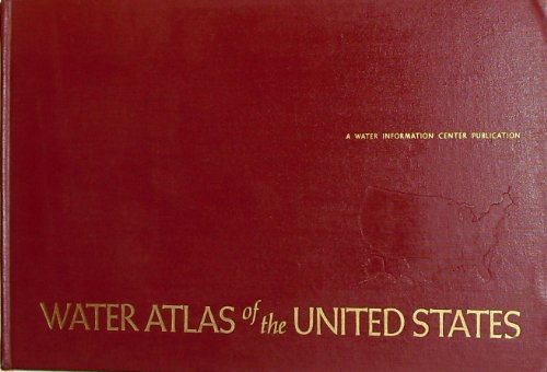
Water Atlas of the United States : Expanded Edition
Geraghty, James J; & David W. Miller; Fritz Van Der Leeden; Fred L. Troise
Lingua: Inglese
Editore: A Water Information Center Publication, Port Washington, New York, 1973
- Rilegato
Da: About Books, Henderson, NV, U.S.A.About Books
Contatta il venditoreVenditore con 5 stelleCondizione: Usato
EUR 43,26
EUR 6,09 spedizioneSpedito in U.S.A.Quantità: 1 disponibili
Hardcover. Condizione: Very Good+ condition. No jacket. Revised and Enlarged Edition. Port Washington, New York: A Water Information Center Publication, 1973. Oblong (13.75" wide by 9.25" tall). Bright, clean, square, tight, unmarked copy. No owner's name or bookplate. No remainder mark. Cartography by Miklos Pinther and Robrt S…. Collins. Original maroon cloth . Revised and Enlarged Edition. Oversize Hardcover. Very Good+ condition/No jacket. Illus. by Pinther, Miklos; & Robrt S. Collins (maps). Illustrated with 122 color maps. Pinther, Miklos; & Robrt S. Collins (maps) (illustratore).


