Importo totale (1 articolo articoli):
Destinazione ordine:

mercators world (14 risultati)
Vai alla pagina principale dei risultati di ricerca
Tipo di articolo
- Tutti gli articoli
- Libri (14)
- Riviste e Giornali
- Fumetti
- Spartiti
- Arte, Stampe e Poster
- Fotografie
- Mappe
-
Manoscritti e
Collezionismo cartaceo
Condizioni
Legatura
Ulteriori caratteristiche
- Prima edizione
- Copia autografata
- Sovraccoperta (3)
- Con foto (10)
- No print on demand
Paese del venditore
Valutazione venditore
-
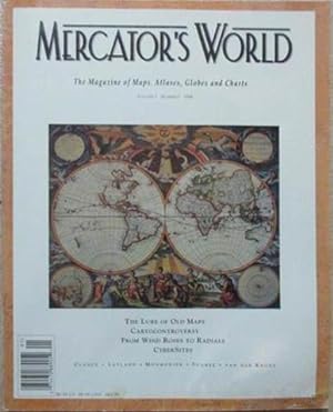
The Magazine of maps, Exploration, and Discovery. Volume 3, Number 1, 1998
Da: Celler Versandantiquariat, Eicklingen, Germania
Membro dell'associazione: GIAQ
Valutazione venditore:

Libro
Mercator`s World, Eugene, 1998. 78 S. mit zahlr. Abb., kartoniert--- -gutes Exemplar/very good condition - 232 Gramm.
-

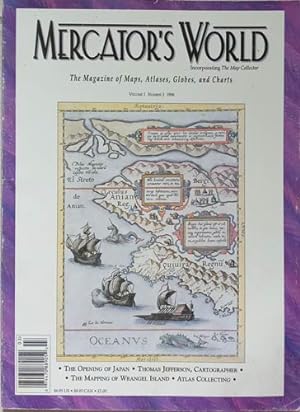
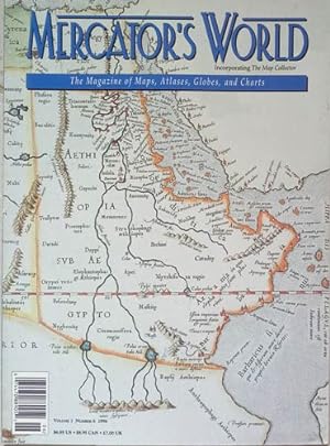
The Magazine of maps, Exploration, and Discovery. Volume 1, Number 3, 1996
Da: Celler Versandantiquariat, Eicklingen, Germania
Membro dell'associazione: GIAQ
Valutazione venditore:
Libro
Mercator`s World, Eugene, 1996. 82 S. mit zahlr. Abb., kartoniert--- -gutes Exemplar/very good condition - 248 Gramm.
-
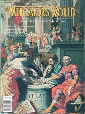
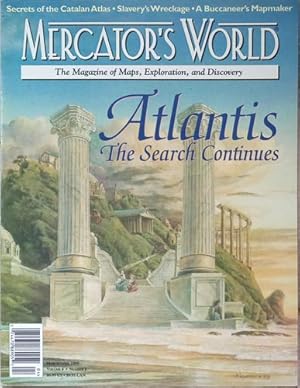
The Magazine of maps, Exploration, and Discovery. Volume 1, Number 4, 1996
Da: Celler Versandantiquariat, Eicklingen, Germania
Membro dell'associazione: GIAQ
Valutazione venditore:
Libro
Mercator`s World, Eugene, 1996. 82 S. mit zahlr. Abb., kartoniert--- -gutes Exemplar/very good condition - 244 Gramm.
-
The Magazine of Maps, Geography and Discovery. Oregon:
Editore: Aster Publishing 1999-2003, 1999
Da: Nicholas D. Riccio Rare Books, ABAA, Florham Park, NJ, U.S.A.
Membro dell'associazione: ABAA ILAB
Valutazione venditore:
Small folio, magazine, illustrated. In near mint condition. Collection of eighth non consecutive issues of Mercator's World. Issues run from one issue of Volume for to two issues of volume eight. That covers from 1999-to 2003. Richly illustrated and full of many great cartographic articles.
-
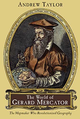
World Of Gerard Mercator,The Taylor, Andrew
Editore: Walker Books, 2004
ISBN 10: 0802713777ISBN 13: 9780802713773
Libro
Condizione: New.
-
Mythical Seas Europe's Stubborn Search for the Northwest Passage, Cartocontroversy Tales of Maps as Weapons of Persuasion & Deception, The Mapmaker as Artst A Cartographic Portrayal of the Early American West, the Line that Divided
Editore: White Lotus Press, Eugene, 1996
Paperback. Condizione: Good. Condizione sovraccoperta: no dj. Mythical Seas Europe's Stubborn Search for the Northwest Passage, Cartocontroversy Tales of Maps as Weapons of Persuasion & Deception, The Mapmaker as Artst A Cartographic Portrayal of the Early American West, the Line that Divided. Book.
-
Early European Adventurers and the Opening of Japan, Thomas Jefferson, Cartographer, Postage Stamps and Politics, Nautical Charts for A New Century, The Book-Bound World, Berard Romans: Cartographer for the U.S. Continental Army, The Mapping of
Editore: white lotus, 1996
Libro
Soft cover. Condizione: Good. Early European Adventurers and the Opening of Japan, Thomas Jefferson, Cartographer, Postage Stamps and Politics, Nautical Charts for A New Century, The Book-Bound World, Berard Romans: Cartographer for the U.S. Continental Army, The Mapping of Early European Adventurers and the Opening of Japan, Thomas Jefferson, Cartographer, Postage Stamps and Politics, Nautical Charts for A New Century, The Book-Bound World, Berard Romans: Cartographer for the U.S. Continental Army, The Mapping of By: Mercator's World Wrangel Island, The Socirty for the History of Discoveries, Write or 'ROM, Bids and Pieces, The Befuddling Skies 12 Articles of Mercator's World Vol.1/3, 1996 PRINT Eugene, 1996 WL CODE I7248/1.3 SIZE 80 pp., illus., 215 x 275 mm BOOK WEIGHT 0.250 Kg PACKING WEIGHT 0.200 Kg.
-
Soft cover. Condizione: Good. Mercator's World (July-Aug'1996) Mercator's World (July-Aug'1996) By: Mercator's World 13 Articles of Mercator's World (July-Aug'1996) PRINT Eugene, 1996 WL CODE I7248/1.4 SIZE 80 pp., illus. in col., 215 x 275 mm BOOK WEIGHT 0.250 Kg PACKING WEIGHT 0.200 Kg.
-
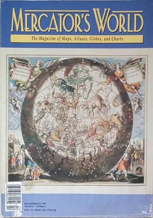
Soft cover. Condizione: Good. Mercator's World (Jan-Feb'1997) Mercator's World (Jan-Feb'1997) By: Mercator's World 12 Articles of Mercator's World (Jan-Feb'1997) PRINT Eugene, 1997 WL CODE I7248/2.1 SIZE 80 pp., illus., 215 x 275 mm BOOK WEIGHT 0.250 Kg PACKING WEIGHT 0.200 Kg.
-
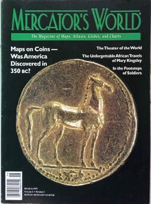
Soft cover. Condizione: Good. Mercator's World (May-June'1997) Mercator's World (May-June'1997) By: Mercator's World 13 Articles of Mercator's World (May-June'1997) PRINT Eugene, 1997 WL CODE I7248/2.3 SIZE 80 pp., illus., 215 x 275 mm BOOK WEIGHT 0.250 Kg PACKING WEIGHT 0.200 Kg.
-
The Mystery of the Makers, Traditional, Possiblee, and Desirable, Hudson Bay and the Accracy of Old Maps, The Origins of American Atlas Cartography, Into Africa: the Search for the Source of the Nile, The Color of Old Mapss
Editore: white lotus, 1996
Libro
Soft cover. Condizione: Good. The Mystery of the Makers, Traditional, Possiblee, and Desirable, Hudson Bay and the Accracy of Old Maps, The Origins of American Atlas Cartography, Into Africa: the Search for the Source of the Nile, The Color of Old Mapss The Mystery of the Makers, Traditional, Possiblee, and Desirable, Hudson Bay and the Accracy of Old Maps, The Origins of American Atlas Cartography, Into Africa: the Search for the Source of the Nile, The Color of Old Mapss By: Mercator's World 6 Articles of Mercator's World (Nov-Dec'1996) Vol.1/6 PRINT Eugene, 1996 WL CODE I7248/1.6 SIZE 80 pp., illus., 215 x 275 mm BOOK WEIGHT 0.250 Kg PACKING WEIGHT 0.200 Kg.
-
The Great Sahara Sea, Atlases of the Altiplano, Cartography Litera, and Empire, A Salve Ship Speaks, Limned by Fire, A Model City, Golden Rhumb Lines of Connection, Close to Home, Topo to Go
Data di pubblicazione: 1999
Libro
Soft cover. Condizione: Good. The Great Sahara Sea, Atlases of the Altiplano, Cartography Litera, and Empire, A Salve Ship Speaks, Limned by Fire, A Model City, Golden Rhumb Lines of Connection, Close to Home, Topo to Go The Great Sahara Sea, Atlases of the Altiplano, Cartography Litera, and Empire, A Salve Ship Speaks, Limned by Fire, A Model City, Golden Rhumb Lines of Connection, Close to Home, Topo to Go By: Mercator's World 9 Articles of Mercator's World Vol. 4.2, March-April 1999 PRINT Eugene, 1999 WL CODE I7248/4.2 SIZE 80 pp., illus. in col, 215 x 275 mm BOOK WEIGHT 0.245 Kg PACKING WEIGHT 0.200 Kg.
-
SHINKAN YOCHI ZENZU: WORLD CHART ON MERCATOR'S PROJECTION WITH NUMEROUS OCEAN RO
Da: RARE ORIENTAL BOOK CO., ABAA, ILAB, Aptos, CA, U.S.A.
Membro dell'associazione: ABAA ILAB
Valutazione venditore:

Edo 1861, Satoh. Green stained cloth covers, color woodblock printed, copper etched outline, sheet 1 meter 35.5 x 1 meter 36 cm., light margin & small center stain, a few old mended worm holes, else solid, grand size wall map. R A R E . *** **** *** . . .GRAND SIZE COLORED WORLD WALL MAP . . . This is a superb example of one of the largest wall maps printed during this period. Of special merit are the 159 flags of foreign nations in color. Sato Masayasu the publisher was a student of Katsu Kaishuu, the celebrated Dutch scholar [Ran Gakusha].His name appears in the introductory text. . * This work represented the end of the Edo period and influenced world maps of the Meiji period. This work is the most up-to-date cartographic view of the world, accurate, with names of countries, cities, mountains, rivers, seas &c. The inside title reads: SHINKAN YOCHI ZENZU. . * A choice large wall map, suitable for wall display. Done in the Mercator projection showing sea routes, oceans, currents with all places of major interest named. An important and valuable historical world map. . *** Color photos are posted to our website. . *** BIBLIOGRAPHY: . BEANS, George H. A LIST OF JAPANESE MAPS OF THE TOKUGAWA ERA: LIST Supplement A, p.31, 1861.1. * Kurita p.23, * Kobe City Museum: AKIOKA KO CHIZU KOLEKUSHYON MEI HIN TEN: EXHIBITION OF THE AKIOKA COLLECTION OF FAMOUS OLD MAPS: and is illustrated as plate 34. . *.
-
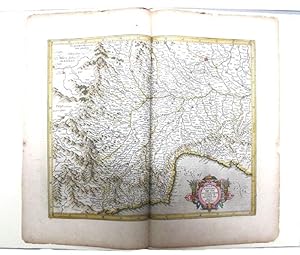
A LEAF FROM THE MERCATOR-HONDIUS WORLD ATLAS
Editore: N, N, 1985
Da: Kay Craddock - Antiquarian Bookseller, Melbourne, VIC, Australia
Membro dell'associazione: ANZAAB ILAB
Valutazione venditore:
Edition of 1619 with an essay by Norman J. W. Thrower. Pp. [viii]+24+[2](colophon, blank), pictorial title page printed in red & black, 5 decorative initials printed in red, black & white pictorial or decorative tailpieces, pictorial endpapers, notes, bibliography; med. folio; qr. vein-patterned vellum, spine lettered in gilt, grey papered boards, decorated in gilt; fore and bottom edges uncut; within black cloth slipcase, which is a trifle marked; Stone & Lorson, Fullerton, California, 1985. Edition limited to 115 copies; this one of 89 thus bound. Hamel 186. *The hand coloured double page map tipped-in at the centre shows Pede Montana regio cum Genvensium territorio (part of modern Italy). The French text on the reverse includes a large decorative initial, and is lightly foxed. The leaf is from the 1619 French edition of Mercator's World Atlas, which was the fourteenth edition of the celebrated cartographer's magnus opus. Parts of the atlas had been printed during Mercator's lifetime, but the entire work was not published until a couple of years after his death in 1594.