
Importo totale (1 articolo articoli):
Destinazione ordine:

esri press redlands (283 risultati)
Casa editrice:
esri press redlands
Perfeziona con la Ricerca avanzata
Vai alla pagina principale dei risultati di ricerca
Filtri di ricerca
Tipo di articolo
- Tutti i tipi di prodotto
- Libri (283)
- Riviste e Giornali (Nessun altro risultato corrispondente a questo perfezionamento)
- Fumetti (Nessun altro risultato corrispondente a questo perfezionamento)
- Spartiti (Nessun altro risultato corrispondente a questo perfezionamento)
- Arte, Stampe e Poster (Nessun altro risultato corrispondente a questo perfezionamento)
- Fotografie (Nessun altro risultato corrispondente a questo perfezionamento)
- Mappe (Nessun altro risultato corrispondente a questo perfezionamento)
- Manoscritti e Collezionismo cartaceo (Nessun altro risultato corrispondente a questo perfezionamento)
Condizioni Maggiori informazioni
- Nuovo (234)
- Come nuovo, Ottimo o Quasi ottimo (13)
- Molto buono o Buono (31)
- Discreto o Mediocre (Nessun altro risultato corrispondente a questo perfezionamento)
- Come descritto (5)
Legatura
Ulteriori caratteristiche
- Prima ed. (20)
- Copia autograf. (Nessun altro risultato corrispondente a questo perfezionamento)
- Sovracoperta (4)
- Con foto (49)
- Non Print on Demand (217)
Lingua (3)
Spedizione gratuita
Paese del venditore
Valutazione venditore
-
Soft cover. Condizione: Near Fine. Pages are clean and unmarked. Cover corners and edges are unmarred. The binding is tight.
-
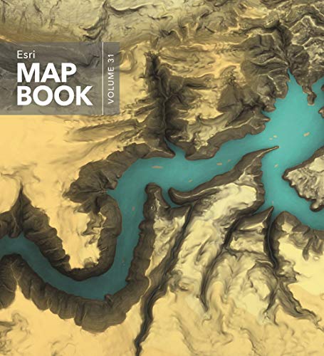
ESRI MAP BOOK VOLUME 31
Da: Terra Firma Books, San Diego, CA, U.S.A.
Valutazione del venditore 5 su 5 stelle

Soft cover. Condizione: Very Good. 192pp. No name or writing.
-
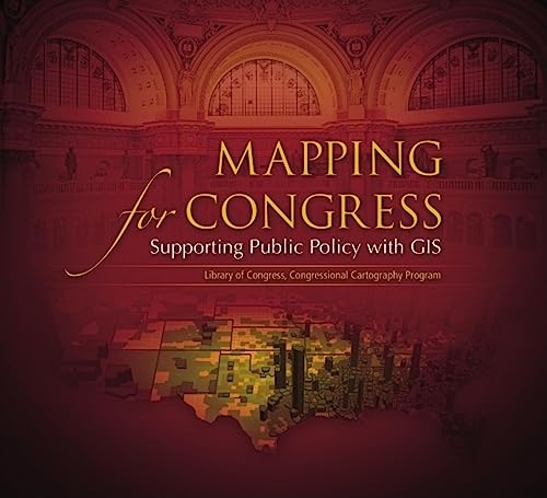
Mapping for Congress: Supporting Public Policy with GIS: Library of Congress, Congressional Cartography Program
Da: Larry W Price Books, Portland, OR, U.S.A.
Valutazione del venditore 5 su 5 stelle
Prima edizione
Paperback. Condizione: Fine. 1st Edition. 82 pp., Color Maps, Brn Color Illus Paperback, Oblong 4to, Fine, Assumed 1st ed.
-
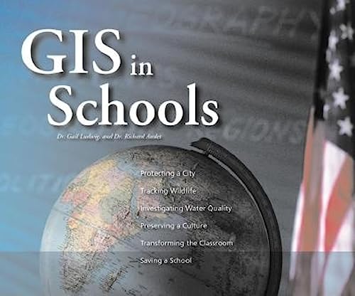
GIS IN SCHOOLS
Da: Larry W Price Books, Portland, OR, U.S.A.
Valutazione del venditore 5 su 5 stelle
Prima edizione
Paperback. Condizione: As New. 1st Edition. 109 pp.+ CD at back, Color Illus, Blue Color Photo Illus Paperback, Oblong 8vo, Fine (As New), 1st ed.
-
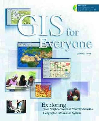
Gis for Everyone: Exploring Your Neighborhood and Your World With a Geographic Information System
Lingua: Inglese
Editore: ESRI Press, Redlands, California, U.S.A., 1999
ISBN 10: 1879102498 ISBN 13: 9781879102491
Da: Granada Bookstore, IOBA, Woodlawn, IL, U.S.A.
Membro dell'associazione: IOBA
Valutazione del venditore 5 su 5 stelle
Soft cover. Condizione: Fine. Sealed Cd Included.
-
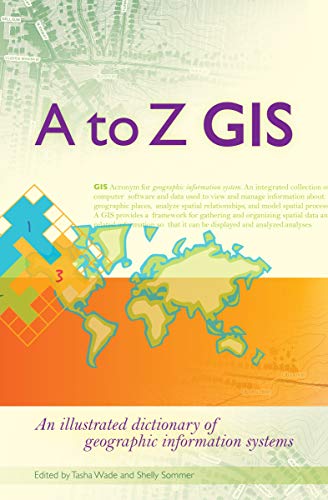
A to Z GIS: An illustrated dictionary of geographic information systems
Da: Brillig's Books, Kingston, NY, U.S.A.
Valutazione del venditore 5 su 5 stelle
Prima edizione
Paperback. Condizione: Good. Condizione sovraccoperta: No DJ. 1st Edition. Pp: xvi + 268. Titles: frt. & sp. Illust. w/ colour designs. Rumple to top frt. wrp. Interior leaves are clean and tight. Reference work on GIS (Geographic Information Systems). A clean copy.
-
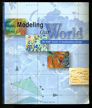
Modeling Our World: The ESRI Guide to Geodatabase Design
Lingua: Inglese
Editore: ESRI Press - Environmental Systems Research Institute, Inc., Redlands, Clifornia, 2000
ISBN 10: 1879102625 ISBN 13: 9781879102620
Da: Don's Book Store, Albuquerque, NM, U.S.A.
Valutazione del venditore 5 su 5 stelle
Prima edizione
Trade Paperback. Condizione: Fine. First Edition. 199 Pages Indexed. No defects noted. Geographic data models are digital frameworks that describe the location and characteristics of things in the world around us. With a geographic information system, we can use these models as lenses to see, interpret, and analyze the infinite complexity of our natural and man-made environments. With the geodatabase, a new geographic data model introduced with ArcInfo 8, you can extend significantly the level of detail and range of accuracy with which you can model geographic reality in a database environment. Contents in 10 Chapters: Object Modeling and Geodatabases, How Maps Inform, GIS Data Representations, The Structure of Geographic Data, Smart Features, The Shape of Features, Managing Work Flow with Versions, Linear Modeling With Network, Cell-Based Modeling with Rasters, and Surface Modeling With Tins.
-

Parker the Planner (Paperback)
Libro 2 di 3: STEAM at Work!Da: Grand Eagle Retail, Bensenville, IL, U.S.A.
Valutazione del venditore 5 su 5 stelle
Paperback. Condizione: new. Paperback. Parker's city is a mess. It's full of traffic and has no sidewalks or parks. But Parker has a plan! He'll build his own city-with parks, zoos, transportation, environmental benefits, and more.Planning a city is a big project, but Parker is up for the challenge. He has all kinds of ideas about how to create a place that will benefit everyone.Part of a STEAM career-themed picture book series,Parker the Plannershows kids they can help create change in their own communities. Like Parker, they can use their passion and ideas to make the world a better place. Perfect for encouraging critical and creative thinking! Spatial analysis and critical thinking skills in K-12 students better prepare them for success, especially in science, engineering, and mathematics.For grades 1-5.Includes a glossary.TheSTEAM at Work!series brings awareness to exciting, fun STEAM careers and opens children up to new ideas for channeling their passions. Each book demonstrates different environmental and social issues the characters use their skills to solve, encouraging critical and creative thinking about the world. Like its characters, readers will be inspired to make a positive difference in their community now and in their future careers.BONUS:Download free fun activity pages, teaching materials, and more at Copyright Bolton & Menk,Inc. Parker has a plan to build his own city-with parks, zoos, transportation, environmental benefits, and more. Part of a STEAM career-themed picture book series. Shipping may be from multiple locations in the US or from the UK, depending on stock availability.
-

Will the Civil Engineer (Paperback)
Libro 3 di 3: STEAM at Work!Da: Grand Eagle Retail, Bensenville, IL, U.S.A.
Valutazione del venditore 5 su 5 stelle
Paperback. Condizione: new. Paperback. Will's dad is a civil engineer. He uses math and science to make the world a better place. Follow along as Will learns about how everything that is built has an engineer and how he can be one, too!Civil engineers have been around for a loooong time. But what do they do? As Will learns, they do a LOT. They work in the community to find problems that need to be solved and then create solutions. Ever wonder where the water you drink comes from? Engineers designed the water system!Part of a STEAM career-themed picture book series,Will the Civil Engineerintroduces kids to all the amazing things engineers have created and shows them they can solve problems like an engineer, too. Perfect for encouraging critical and creative thinking! Spatial analysis and critical thinking skills in K-12 students better prepare them for success, especially in science, engineering, and mathematics.For grades 1-5.Includes a glossary.TheSTEAM at Work!series brings awareness to exciting, fun STEAM careers and opens children up to new ideas for channeling their passions. Each book demonstrates different environmental and social issues the characters use their skills to solve, encouraging critical and creative thinking about the world. Like its characters, readers will be inspired to make a positive difference in their community now and in their future careers.BONUS:Download free fun activity pages, teaching materials, and more at Copyright Bolton & Menk,Inc. Follow along as Will learns about how everything that is built has an engineer and how he can be one, too! Part of a STEAM career-themed picture book series. Shipping may be from multiple locations in the US or from the UK, depending on stock availability.
-

Lindsey the GIS Professional (Paperback)
Da: Grand Eagle Retail, Bensenville, IL, U.S.A.
Valutazione del venditore 5 su 5 stelle
Paperback. Condizione: new. Paperback. Lindsey loves mapping! Follow along as she collects information about the world around her to make a map of her favorite park.The first in a STEAM career-themed picture book series, Lindsey the GIS Professional describes what it's like to work with a geographic information system (GIS). Lindsey explains the information needed to make a map and how to collect it. Then she shows how to take all that information to create a map of her favorite park. Perfect for encouraging spatial thinking! GIS is key to STEAM learning-spatial analysis and critical thinking skills in K-12 students better prepare them for success, especially in science, engineering, and mathematics.For grades 1-5. Includes a glossary.The STEAM at Work! series brings awareness to exciting, fun STEAM careers and opens children up to new ideas for channeling their passions. Each book demonstrates different environmental and social issues the characters use their skills to solve, encouraging critical and creative thinking about the world. Like its characters, readers will be inspired to make a positive difference in their community now and in their future careers.BONUS:Download free fun activity pages and teaching materials, and learn more about GIS at Copyright Bolton & Menk, Inc. Lindsey loves mapping! Follow along as she collects information about the world around her to make a map of her favorite park. First in a STEAM career-themed picture book series. Shipping may be from multiple locations in the US or from the UK, depending on stock availability.
-
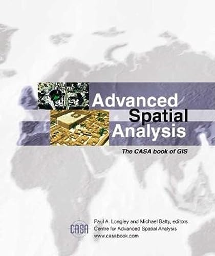
Advanced Spatial Analysis: The CASA Book of GIS
Da: Larry W Price Books, Portland, OR, U.S.A.
Valutazione del venditore 5 su 5 stelle
Prima edizione
Paperback. Condizione: Fine. 1st Edition. 461 pp., Color Illus, White Color Illus Paperback, owner name T edgepapers else Fine, 1st ed.
-
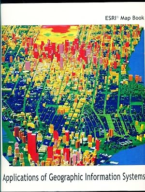
ESRI Map Book - Volume 15 - Applications of Geographic Information Systems.
Lingua: Inglese
Editore: ESRI Press - Environmental Systems Research Institute, Inc., Redlands, California, 2000
ISBN 10: 1879102838 ISBN 13: 9781879102835
Da: Don's Book Store, Albuquerque, NM, U.S.A.
Valutazione del venditore 5 su 5 stelle
Trade Paperback. Condizione: Very Good. 120 Pages. Covers show some minor wear to edges and corners. First few pages exhibit some light wrinkling however there are no stains to indicate moisture exposure nor is page turning affected. Maps tell stories without words, and as geographic information technology evolves, these stories are becoming increasingly complex. In the 30 years since its inception GIS has shown to be different from a mapmaking tool. GIS identifies patterns and relationships that elude the naked eye; reveals trends in agricultural and natural resource management; fosters environmental conservation; and enhances logistical planning. This book has has some of the best digital maps of 1999. They are from GIS users around the world and show how the digital revolution is evolving. The stories of these maps cover more than 20 industry sectors from government to geology to health care to transportation. They include preparing for natural disasters, designing telecommunications networks, and more. Descriptive text accompanies each full-color map telling how the maps were produced or used. The ESRI Map Book is the only publication about the important and innovative mapping achievements of GIS people around the world.
-
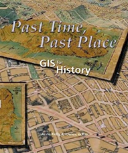
Past Time, Past Place: GIS for History
Da: Bookplate, Chestertown, MD, U.S.A.
Valutazione del venditore 4 su 5 stelle

Prima edizione
Soft cover. Condizione: Very Good. 1st Edition. Clean, unmarked, crease-free spine. KRM/Archaeo.
-

Community Geography: Gis In Action
Lingua: Inglese
Editore: ESRI Press, Redlands, California, 2003
ISBN 10: 1589480236 ISBN 13: 9781589480230
Da: Granada Bookstore, IOBA, Woodlawn, IL, U.S.A.
Membro dell'associazione: IOBA
Valutazione del venditore 5 su 5 stelle
Prima edizione
Soft cover. Condizione: Very Good. First Edition. Stated First Printing. Comes With Sealed Cd. Minor Wear. Provides Real Case Studies, Hands-On Exercises, And Practical Tips For Using Geographical Information Systems To Learn About And Make A Difference In One's Own Community.
-
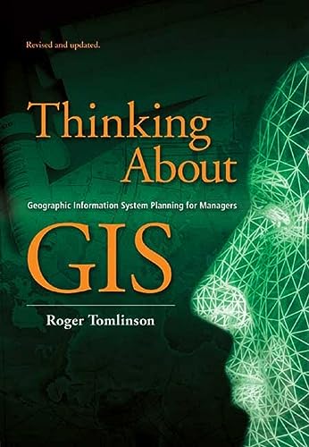
Thinking About GIS
Lingua: Inglese
Editore: ESRI Press, Redlands, California, U.S.A., 2003
ISBN 10: 1589481194 ISBN 13: 9781589481190
Da: 4 THE WORLD RESOURCE DISTRIBUTORS, Springfield, MO, U.S.A.
Valutazione del venditore 5 su 5 stelle
Softcover. Condizione: Good. Not marked; 8vo - over 7�" - 9�".
-

The Playground Problem (Paperback)
Da: Grand Eagle Retail, Bensenville, IL, U.S.A.
Valutazione del venditore 5 su 5 stelle
Paperback. Condizione: new. Folger, Fred (illustratore). Paperback. Welcome to location games and spatial thinking!Emma and David find a chain and padlock across the local playground entrance. Where can they play? With help from neighbor Kayla and her dog Blazer, Emma and David set out to find a new place to play. But how will they know where a good location is?Kayla shows them how they can use basic mapping, distance, direction, spatial pattern analysis, and overlay skills to find the perfection location. And just when they do, they encounter more obstacles-all of them have to work together quickly to solve their playground problem!Using a colorful, easy-to-follow comic bookstyle story with fun in-book activities, The Playground Problem takes readers along to see how to overcome problems and find the perfect solution. Large pages brightly illustrate the adventure as readers learn about maps and use basic spatial thinking.Written by geographic information systems (GIS) expert Dr. Lauren Scott Griffin and illustrated by artist Fred Folger, this hybrid graphic novel/activity book teaches young readers introductory mapping, zeroing in on distance, direction, basic spatial analysis, and other skills. Solving interesting puzzles and learning to "think spatially" not only helps kids with their math skills for higher grades, but also gives them a head start in exciting careers. Research shows exercising spatial reasoning skills at an early age accelerates children's competence in the science, technology, engineering, and math (STEM) fields.Mapping for kids has never been this much fun!For grades 1-5. Includes a glossary. Using a colorful, entertaining, easy-to-follow story with fun in-book activities, The Playground Problem teaches young readers basic mapping and other skills involving geography and spatial patterns. Shipping may be from multiple locations in the US or from the UK, depending on stock availability.
-

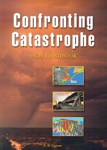
Confronting Catastrophe A GIS Handbook
Da: True Oak Books, Highland, NY, U.S.A.
Membro dell'associazione: IOBA
Valutazione del venditore 5 su 5 stelle
Prima edizione
Paperback. Condizione: Very Good+. First Edition; Fifth Printing. 6.58 X 0.4 X 8.99 inches; 140 pages; color and B&W illustrations, graphs, and maps. Very Good condition. No noteworthy defects. No markings. ; Your satisfaction is our priority. We offer free returns and respond promptly to all inquiries. Your item will be packaged with care and ship on the same or next business day. Buy with confidence.
-

Valuing Place and Purpose: GIS for Land Administration (Applying GIS)
Libro 7 di 18: Applying GISDa: James Payne, Books and Prints, New York City, NY, U.S.A.
Valutazione del venditore 5 su 5 stelle
Softcover. Condizione: Very Good Plus. [GEOGRAPHY]. Eds. Brent Jones, Keith Mann. "Valuing Place and Purpose: GIS for Land Administration (Applying GIS)." Redlands, CA: Esri Press, 2022. English language. Softcover. Text with full color images. xii, 112. 124 pp. 8 x 5 1/2 inches. 8 oz. Text clean. Cover with slight bow. Very Good Plus. ISBN:9781589487062. "Location intelligence is changing the way land administration works to protect and maintain appropriate land use and achieve better economic, environmental, and social benefits. The real-life stories in 'Valuing Place and Purpose: GIS for Land Administration' show how communities, government agencies, nonprofits, and other organizations implement geographic information systems (GIS) in four key areas.".
-

Getting to Know ArcGIS Desktop
Da: Always Superior Books, Marietta, GA, U.S.A.
Valutazione del venditore 5 su 5 stelle
Paperback. Condizione: VG+. First Editiion. Bump to the heel of the spine. CD rom present. Book.
-

The Locators (Paperback)
Libro 1 di 2: The LocatorsDa: Grand Eagle Retail, Bensenville, IL, U.S.A.
Valutazione del venditore 5 su 5 stelle
Paperback. Condizione: new. Jones, Wesley (illustratore). Paperback. Explore the unknown in this thrilling adventure that has readers solving real-world problems!The Locators are on the job! Two kids solving problems in the world using maps, technology, and spatial thinking, the Locators are determined to help those who need it. After crash landing in the Amazon during their first mission, Lucy, Oliver, and Moe the Parrot embark on an exciting adventure through South America. It's up to Lucy and her friends to find and protect several endangered species that are in immediate jeopardy. From rockslides in the Andes mountains to volcano eruptions in the Galapagos Islands, the team experiences it all as they rush to complete their mission in time. Will you help them succeed?Using different color maps and clues, readers can help the Locators on each step of their journey by completing the illustrated activity at the end of each chapter. This hands-on approach encourages critical and spatial thinking, while also reinforcing reading comprehension and vocabulary.Full of fun, full-color illustrations, activities, and tons of facts about endangered species, habitats, and more, this adventure keeps kids interested and makes learning easy.At the end of the story, readers can get their own Locator member ID number and become part of the team!Glossary included. Explore the unknown in this thrilling adventure that has readers solving real-world problems! Help the Locators-using maps and clues-as they trek through South America on an important mission. Shipping may be from multiple locations in the US or from the UK, depending on stock availability.
-

Soft Cover. Condizione: Very Good -. No Jacket. (2005), 203pp, illus., some shelfwear to cover, bottom corner bumped, affects some pgs, contents clean.
-
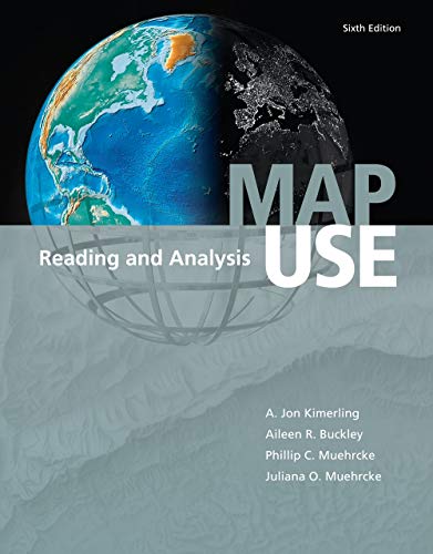
Soft cover. Condizione: Very Good. 5th or later Edition. Black & grey pictorial waps. 4to, 528 pages.6th. edition. Contents fine.
-
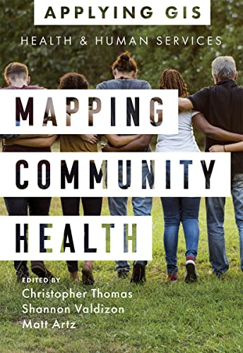
Mapping Community Health (Paperback)
Libro 6 di 18: Applying GISDa: Grand Eagle Retail, Bensenville, IL, U.S.A.
Valutazione del venditore 5 su 5 stelle
Paperback. Condizione: new. Paperback. Discover a modern approach to help build healthier communities.Improvinghealth outcomes, increasing access to health care, and building healthier communitiesrequires a modern approach to understanding health and human service issues that are more complex, costly, and devastating than ever before. Public health service agencies around the world rely on geographic information systems (GIS) technology every day to addressthe opioid epidemic, homelessness, food insecurity, health and racial inequities, and more. By applying GIS, you too can be better able to prepare for and respond to health emergencies and human crises and build the resilience your community will need for the future.Mapping Community Health: GIS for Health and Human Servicesexplores a collection of real-life case studies about using geographic information system (GIS) technology to help build communities that improve health outcomes and increase accessibility to health care. A "next steps" section provides ideas, strategies, tools, and actions to help jump-start your own use of GIS for health and human services. Supplementary online resources, including additional stories, videos, new ideas and concepts, and downloadable tools and content, extend the value of this book.Edited by Christopher Thomas, Director of Government Marketing at Esri, Shannon Valdizon, State and Local Government Marketing Lead at Esri, and Matt Artz, an Esri content strategist. Shipping may be from multiple locations in the US or from the UK, depending on stock availability.
-

Women and GIS (Paperback)
Libro 3 di 3: Women and GISDa: Grand Eagle Retail, Bensenville, IL, U.S.A.
Valutazione del venditore 5 su 5 stelle
Paperback. Condizione: new. Paperback. Twenty-three stories about how ordinary girls with very different passions have become extraordinary women and made significant contributions to our worldWomen look to other women as role models and for inspiration. Seeing confidence, leadership, and accomplishments in other women helps a young woman envision herself with those qualities. Women and GIS: Mapping Their Stories tells the tales ofhow 23 women applied themselves and overcame obstacles, using maps, analysis, and geographic information systems (GIS) to contribute to their professions and the world. Sharing the experiences of their childhoods, the misstarts and challenges they faced, and the lessons they learned, each story is a celebration of a woman's unique path and of the perseverance and hard work it takes to achieve success.From oceanographers to activists, archaeologists to entrepreneurs, the women in Women and GIS: Mapping Their Stories can serve as mentors to motivate readers who are developing their own life stories and inspire their potential in a new way. Women greatly enrich science, leading research and directing decisions across myriad applications. Women and GIS: Mapping Their Stories reveals how ordinary girls become extraordinary women, overcoming obstacles to make significant global contributions. Shipping may be from multiple locations in the US or from the UK, depending on stock availability.
-
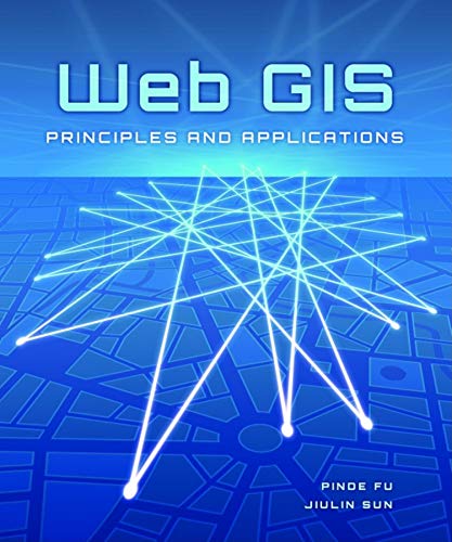
Web GIS: Principles and Applications
Lingua: Inglese
Editore: ESRI Press, United States, Redlands, 2010
ISBN 10: 158948245X ISBN 13: 9781589482456
Da: WorldofBooks, Goring-By-Sea, WS, Regno Unito
Valutazione del venditore 5 su 5 stelle
EUR 15,09
Spedizione EUR 6,50
Spedito da Regno Unito a U.S.A.Quantit�: 3 disponibili
Aggiungi al carrelloPaperback. Condizione: Very Good. The Web has revealed the immense value and broad applicability of GIS, set the bar for todays user expectations, and introduced flexible architectures for use with modern IT infrastructure. From basic architecture to new frontiers, Web GIS: Principles and Applicationspresents a thoroughoverview of the origins and developments in this emerging platform. New Web technologies addressed include:ArcGIS Server, REST services, JavaScript API/Flex API, and ArcGIS Mobile. This book offers a balance of principles, concepts, and techniques to provide you with an understanding of how Web GIS can revolutionize the way your GIS functions. The book has been read, but is in excellent condition. Pages are intact and not marred by notes or highlighting. The spine remains undamaged.
-

Protecting the People (Paperback)
Libro 10 di 18: Applying GISDa: Grand Eagle Retail, Bensenville, IL, U.S.A.
Valutazione del venditore 5 su 5 stelle
Paperback. Condizione: new. Paperback. Discover the geographic approach to fighting crime while engaging citizens.Protecting the People: GIS for Law Enforcement explores a collection of real-life stories about law enforcement agencies successfully using GIS for crime analysis, open policing, and field mobility. Through these stories, this book illustrates how police departments and law enforcement organizations use GIS to enable data-driven crime-analysis strategies and drive decision making in everyday operations.The case studies in this book cover:Understanding data and crime analysisStreamlining improvements to police operationsDeveloping methods for engaging citizensThe book also includes a section on next steps that provides ideas, strategies, tools, and actions to help jump-start your own use of GIS for law enforcement. A collection of online resources, including additional stories, videos, new ideas and concepts, and downloadable tools and content, complements this book.Learn how location intelligence and the geographic approach can improve crime analysis, streamline operations, and promote community policing initiatives. Protecting the People: GIS for Law Enforcement explores a collection of real-life stories about law enforcement agencies successfully using GIS for crime analysis, open policing, and field mobility. Shipping may be from multiple locations in the US or from the UK, depending on stock availability.
-
Designed Maps: A Sourcebook for GIS Users
Da: T. Brennan, Bookseller (ABAA / ILAB), Ellsworth, ME, U.S.A.
Membro dell'associazione: ABAA ILAB MABA
Valutazione del venditore 5 su 5 stelle
Prima edizione
Soft cover. Condizione: Very Good. No Jacket. 1st Edition. Publisher's card stock wrappers, oblong octavo, pp. 170. First edition, so stated. Illustrated throughout.
-
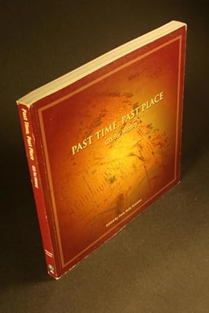
Past Time, Past Place: GIS for History.
Editore: Redlands, California: ESRI Press, 2002, 2002
Da: Steven Wolfe Books, Newton Centre, MA, U.S.A.
Valutazione del venditore 5 su 5 stelle
Knowles, Anne Kelly, 1957-, ed. Past Time, Past Place: GIS for History. Redlands, California: ESRI Press, 2002, 202pp., square PAPERBACK, good copy BUT bottom edge is a bit dented, light wear to edges of covers. Geographic information systems applied to Salem witch trials, Dust Bowl, Civil War battlefields, landscapes of the Greek and Roman Empires, immigration and race in New York City, 1900-2000, redlining in Philadelphia, agricultural history, mapping British population history, the electronic cultural atlas initiative and the North American religion atlas. 9781589480322 ISBN 1589480325.
-

Designing Geodatabases Case Studies in GIS Data Modeling
Da: True Oak Books, Highland, NY, U.S.A.
Membro dell'associazione: IOBA
Valutazione del venditore 5 su 5 stelle
Prima edizione
Paperback. Condizione: Good+. First Edition; Second Printing. 7.58 X 0.98 X 8.94 inches; 393 pages; creasing to the back cover and to spine. Slightly cocked spine. Very Good condition otherwise. No other noteworthy defects. No markings. ; - Your satisfaction is our priority. We offer free returns and respond promptly to all inquiries. Your item will be carefully cushioned in bubble wrap and securely boxed. All orders ship on the same or next business day. Buy with confidence.
-

Soft cover. Condizione: As New. No Jacket. Pictorial covers. 11" x 10", 120pp.
