Importo totale (1 articolo articoli):
Destinazione ordine:

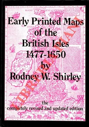
early printed maps british di shirley rodney (18 risultati)
Vai alla pagina principale dei risultati di ricerca
Tipo di articolo
- Tutti gli articoli
- Libri (18)
- Riviste e Giornali
- Fumetti
- Spartiti
- Arte, Stampe e Poster
- Fotografie
- Mappe
-
Manoscritti e
Collezionismo cartaceo
Condizioni
Legatura
Ulteriori caratteristiche
- Prima edizione
- Copia autografata (1)
- Sovraccoperta (6)
- Con foto (4)
- No print on demand
Paese del venditore
Valutazione venditore
-
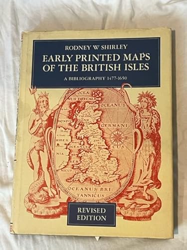
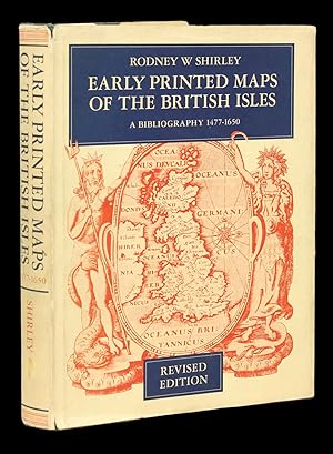
Early Printed Maps Of The British Isles A Bibliography 1477-1650
Editore: Holland Press Limited, London, 1980
ISBN 10: 0900470976ISBN 13: 9780900470974
Da: Willis Monie-Books, ABAA, Cooperstown, NY, U.S.A.
Membro dell'associazione: ABAA ESA ILAB
Valutazione venditore:

Libro
Hardcover. Condizione: Very Good-. Condizione sovraccoperta: No Dust Jacket. Revised Edition. Surface scuff on front cover where a label or price sticker was removed. ; Holland Press Cartographica 5.
Ulteriori offerte da altri venditori AbeBooks
Nuovo - A partire da EUR 122,62
Usato - A partire da EUR 24,03
Scopri anche Rilegato
-

Early Printed Maps of the British Isles A Bibliography 1477-1650
Editore: The Holland Press Limited, 1980
Libro
Hardcover. Condizione: Very Good. Condizione sovraccoperta: Very Good. King of Prussia, PA: The Holland Press Limited, 1980. Quarto, in a pictorial dust-wrapper in heavy stock. With some wear to the extremities. The Holland Press printed the Cartographia series in 1973. This volume (5) Shirley's Early Printed Maps, 1980, is a revison of that series. It is offered as a thorough biliography for all.
-
Early Printed maps Of The British Isles A Bibliography 1477-1650
Editore: W. Graham Arader III, 1980
Da: Arader Galleries of Philadelphia, PA, Philadelphia, PA, U.S.A.
Valutazione venditore:
Libro
Hardcover. Condizione: Like New. Condizione sovraccoperta: like new. Book and dj appears unused.
-
Early printed maps of the British Isles. A bibliography 1477-1650. V: 1637-1650.
Da: Antiquariaat A. Kok & Zn. B.V., Amsterdam, Paesi Bassi
Membro dell'associazione: ILAB NVVA
Valutazione venditore:
London 1974. 53 pp. Plts. Soft cover. (Map Collectors' Circle 11).
-
Early printed maps of the British Isles. A bibliography 1477-1650. I: 1477-1555.
Da: Antiquariaat A. Kok & Zn. B.V., Amsterdam, Paesi Bassi
Membro dell'associazione: ILAB NVVA
Valutazione venditore:
London 1973. 36 pp. 14 plts. Soft cover. (Map Collectors'Circle 9).
-
Early Printed Maps of the British Isles. A Bibliography 1477-1650.
Editore: London, Holland Press 1980., 1980
Revised Edition. 188 S. mit Abb. Ppbd. Schutzumschlag etwas fleckig u. etwas verfärbt.
-
Early Printed Maps of the British Isles. A Bibliography 1477-1650. Revised edition. (= Holland Press Cartographica 5).
Editore: (London), Holland Press, (1980)., 1980
Da: Versandantiquariat Wolfgang Friebes, Graz, Austria
Membro dell'associazione: ILAB VDAO
Valutazione venditore:

Condizione: 0. Umschlag etw. angestaubt u. mit kl. Randläsuren. Exlibris a. Vorsatzblatt. Vortitelbl. m. Klebespur, Datum u. Namenszug. Titel u. seitlicher Schnitt gestempelt. Sprache: Englisch Gewicht in Gramm: 1000 4°. Mit 88 Tafeln. XXV, 188 S., OLwd. m. illustr. OUmschlag.
-
Early Printed Maps of the British Isles: A Bibliography 1477 - 1650
Editore: Holland Press; W. Graham Arader, III, London; King of Prussia, PA, 1980
Measuring 10 x 7 1/2 in.; 25 x 19 cm. Pictorial endpapers, xxv, 188 pages including 88 plates and 4 charts. CONDITION/BINDING: Very good, tight. Publisher's green cloth, faux spine label printed in black and gilt, pictorial dust-jacket. COMPREHENSIVELY INDEXED BIBLIOGRAPHY of the early general maps of the British Isles. Revised edtion of the original 1973 Map Collector's Circle Edition. The author, Rodney W. Shirley (1928 - 2017), was a leading British scholar and authority on maps as well as the president of the International Map Collector's Society.
-
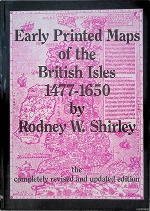
Early Printed Maps of the British Isles 1477-1650 *SIGNED*
Editore: Antique Atlas Publications, 1991
ISBN 10: 0951491423ISBN 13: 9780951491423
Libro Copia autografata
Condizione: Good. Gilt cloth, dust jacket, illustrated with b/w maps; signed with small dedication by the author on title-page, The completely Revised and Updated edition.
-
Early Printed Maps of the British Isles 1477-1650.
Data di pubblicazione: 1991
Da: Libreria Piani, Monte San Pietro, BO, Italia
Membro dell'associazione: ALAI ILAB
Valutazione venditore:
Libro
England, Antique Atlas Publications, 1991, 4to (cm. 30,5 x 21,5) legatura tutta tela con titoli dorati al piatto anteriore e al dorso e sovraccopertina illustrata a colori, pp. XX-233 con 160 carte nel testo.
-
Early Printed Maps of the British Isles, A Bibliography, 1477-1650
Editore: The Map Collectors Circle,, London,, 1973
Da: Daniel Crouch Rare Books Ltd, London, Regno Unito
Membro dell'associazione: ABA ILAB PBFA
Valutazione venditore:

Libro
Shirley's cartobibliography of the British Isles Hardcover, 188 pages. A survey of the cartography of the British Isles, and a listing of 670 printed maps from 1477-1650.
-
Early Printed Maps of the British Isles, A Bibliography 1477-1650
Editore: The Holland Press Limited,, London,, 1980
Da: Daniel Crouch Rare Books Ltd, London, Regno Unito
Membro dell'associazione: ABA ILAB PBFA
Valutazione venditore:
Libro
Shirley's cartobibliography of the British Isles Hardcover, 188 pages. History of the cartography of the British Isles, and list of 670 maps from 1477-1650.